
A phone with offline maps will get you to the trailhead. Getting yourself home from a slot canyon in a storm is a different problem, and that is the problem the best handheld GPS units for hiking were built to solve. These are the devices that keep working when the bars read zero, when cold gloves make a touchscreen useless, and when your phone battery is being held in reserve for the emergency call.
Every unit in this roundup is a Garmin, and that is not laziness in the research. The dedicated hiking handheld market has consolidated to the point where the alternatives hikers used to debate, older Magellan and Delorme models included, have largely disappeared from sale. What still separates one of these handheld GPS units from the next comes down to four things: how many hours it runs between charges, which satellite constellations the receiver locks onto, how big and how readable the screen is, and whether a satellite communicator is built in.
We compared all ten devices below on the numbers hikers actually feel: ounces added to pack weight, runtime per set of batteries, the satellite systems behind the position fix, and what the display is like at arm’s length in the rain. This is the 2026 buying list, refreshed with the current generation of touchscreens, inReach handhelds and renewed units that show up again and again in trail forums.
If you are also shopping for something to wear on your wrist rather than carry in your hand, our guide to the best GPS watches covers the lighter, always-on option well. For paddling and coastal work, the best marine GPS units roundup is the relevant read instead.
Table of Contents
Top 3 Handheld GPS Picks for Hiking in 2026
The Garmin eTrex 10 takes the overall slot because it is the most proven handheld GPS unit in this group, with the largest review base by a wide margin and a body that adds about five ounces to a pack. The eTrex 22x takes the value award: a color screen, routable preloaded maps and a microSD slot for a modest step up. The GPSMAP 64sx takes the top rated award on the strength of its multi-GNSS receiver, three-axis compass and barometric altimeter, which are the parts that matter in real backcountry terrain.

Garmin eTrex 10
- 2.2 inch monochrome LCD
- GPS + GLONASS with HotFix
- 20 hours on two AA batteries
- IPX7 water rating

Garmin eTrex 22x
- 2.2 inch color display
- Preloaded TopoActive routable maps
- 25 hours on two AA batteries
- 8 GB plus microSD
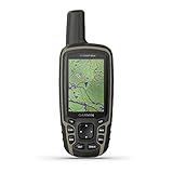
Garmin GPSMAP 64sx
- 3-axis compass and barometric altimeter
- Multi-GNSS GPS GLONASS Galileo
- 2.6 inch color display
- 16 hours battery life
Two of those three are button-operated, and that is deliberate. Thru-hikers and winter users in trail forums consistently describe glove operation and multi-day runtime as the deciding factors, and the eTrex line is where both are solved without paying for a touchscreen you cannot use in January.
All 10 Handheld GPS Units Compared Side by Side in 2026
This table covers every unit in the roundup, including the two renewed models, the radio-equipped handheld and the three inReach-equipped devices. Weight, screen size and runtime are the fastest way to separate them; the satellite and connectivity columns show what each receiver can actually do.
| Product | Specifications | Action |
|---|---|---|
| Garmin eTrex 10 |
|
Check Latest Price |
| Garmin eTrex 22x |
|
Check Latest Price |
| Garmin GPSMAP 64sx |
|
Check Latest Price |
 Garmin Montana 680 Garmin Montana 680 |
|
Check Latest Price |
 Garmin Montana 750i Garmin Montana 750i |
|
Check Latest Price |
 Garmin GPSMAP 66i Garmin GPSMAP 66i |
|
Check Latest Price |
 Garmin Montana 700i Garmin Montana 700i |
|
Check Latest Price |
 Garmin Rino 750t Garmin Rino 750t |
|
Check Latest Price |
 Garmin GPSMAP 67i Garmin GPSMAP 67i |
|
Check Latest Price |
 Garmin Montana 760i Garmin Montana 760i |
|
Check Latest Price |
1. Garmin eTrex 10: The Proven Button Handheld for Day Hiking
Garmin 010-00970-00 eTrex 10 Worldwide Handheld GPS Navigator
Weight: 5 oz
Screen: 2.2 in monochrome
Battery: 20 h on 2 AA
Systems: GPS + GLONASS
Pros
- Most proven unit in the roundup with by far the largest review count
- Rugged IPX7 body that shrugs off rain and dust
- Two AA batteries give about 20 hours
- Buttons work with gloves and cold fingers
Cons
- Small monochrome screen limits detailed map reading
- 6 MB of internal memory restricts map detail
- No touchscreen Bluetooth or Wi-Fi
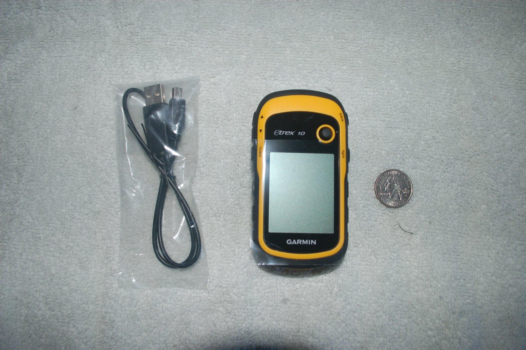
The eTrex 10 is the reason most hikers end up owning a Garmin at all. It has been on the market since 2011, and with more than 6,400 reviews behind it, it is the unit with the most field hours logged by actual owners of any handheld here. For a day hike on maintained trail, or a two-night backpacking trip where you can plan the route from memory, it does everything it promises and nothing it does not.
Pair it with two AA batteries and you get roughly 20 hours of runtime, which comfortably covers a long day out and lets you keep spare cells in the lid pocket of your pack rather than carrying a charging cable. The IPX7 water rating means a downpour is a non-event, and the whole unit weighs about five ounces before batteries.
Positioning is handled by a WAAS-enabled receiver with HotFix and GLONASS support, which is a two-constellation setup by modern standards. In open country that is more than enough. Under heavy canopy or in a narrow drainage it will hold a lock, but it will wander more than the multi-constellation units further down this list, and reviewers regularly note the difference when comparing it against newer models.
Paperless geocaching support is built in, along with a worldwide basemap and the ability to store waypoints along a track and mark high and low elevation points. What you do not get is modern connectivity: no Bluetooth, no Wi-Fi, no touchscreen, and only 6 MB of internal memory for downloaded map detail.
Where the eTrex 10 Still Wins
Buy this one if your trips are short, your routes follow trails with signs, and you want a device that cannot run out of power because a cable stayed in the car. The button layout is genuinely usable with thick gloves on, which is the single most common complaint hikers direct at the touchscreen models in this roundup.
It is also the least complicated device to hand to a friend or family member. There is no account, no app pairing and no desktop software to install before it works out of the box.
When a Newer Model Is Worth the Upgrade
Move up to the eTrex 22x if you want a color screen and room to download real topographic detail, because 6 MB of internal memory is the hard limit on this unit. Consider a multi-GNSS model such as the GPSMAP 64sx if your hiking happens in dense forest, canyon country or anywhere the signal has to fight for its fix.
It is worth being blunt about the age: this is a 2011 design, and the monochrome display is the feature that dates it most. If you read maps at a standstill rather than glancing at them while walking, a larger screen will matter more than the extra hours of battery life.
2. Garmin eTrex 22x: The Best Value Handheld GPS Unit
Garmin 010-02256-00 eTrex 22x, Rugged Handheld GPS Navigator, Black/Navy
Weight: 4.96 oz
Screen: 2.2 in color
Battery: 25 h on 2 AA
Memory: 8 GB + microSD
Pros
- Sunlight-readable color display a real step up from monochrome
- Battery runs about 25 hours on standard AA cells
- GPS plus GLONASS improves the lock in canyons and heavy cover
- 8 GB internal memory plus a microSD slot
Cons
- Small 2.2 inch screen limits detailed map reading
- Button-only operation with no touchscreen
- Map coverage is regional and extra regions may need purchasing
The eTrex 22x is the unit hikers recommend most often when someone asks what to buy without needing a spreadsheet. It keeps everything the eTrex 10 does well, adds a sunlight-readable color display, and doubles the internal storage to 8 GB with a microSD slot on top. For most hikers that is the entire upgrade that matters.
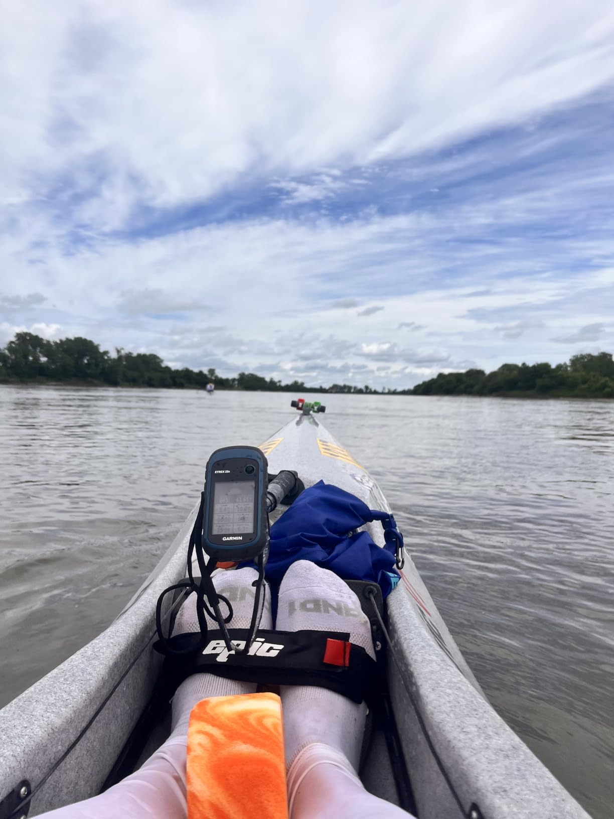
Battery life is the headline number: up to 25 hours in GPS mode on two AA batteries, the best runtime of any button-operated unit in this roundup. Members of the forums.paddling.com community favour small button models for exactly this reason, since a spare set of cells is lighter and less fragile than a power bank and cable.
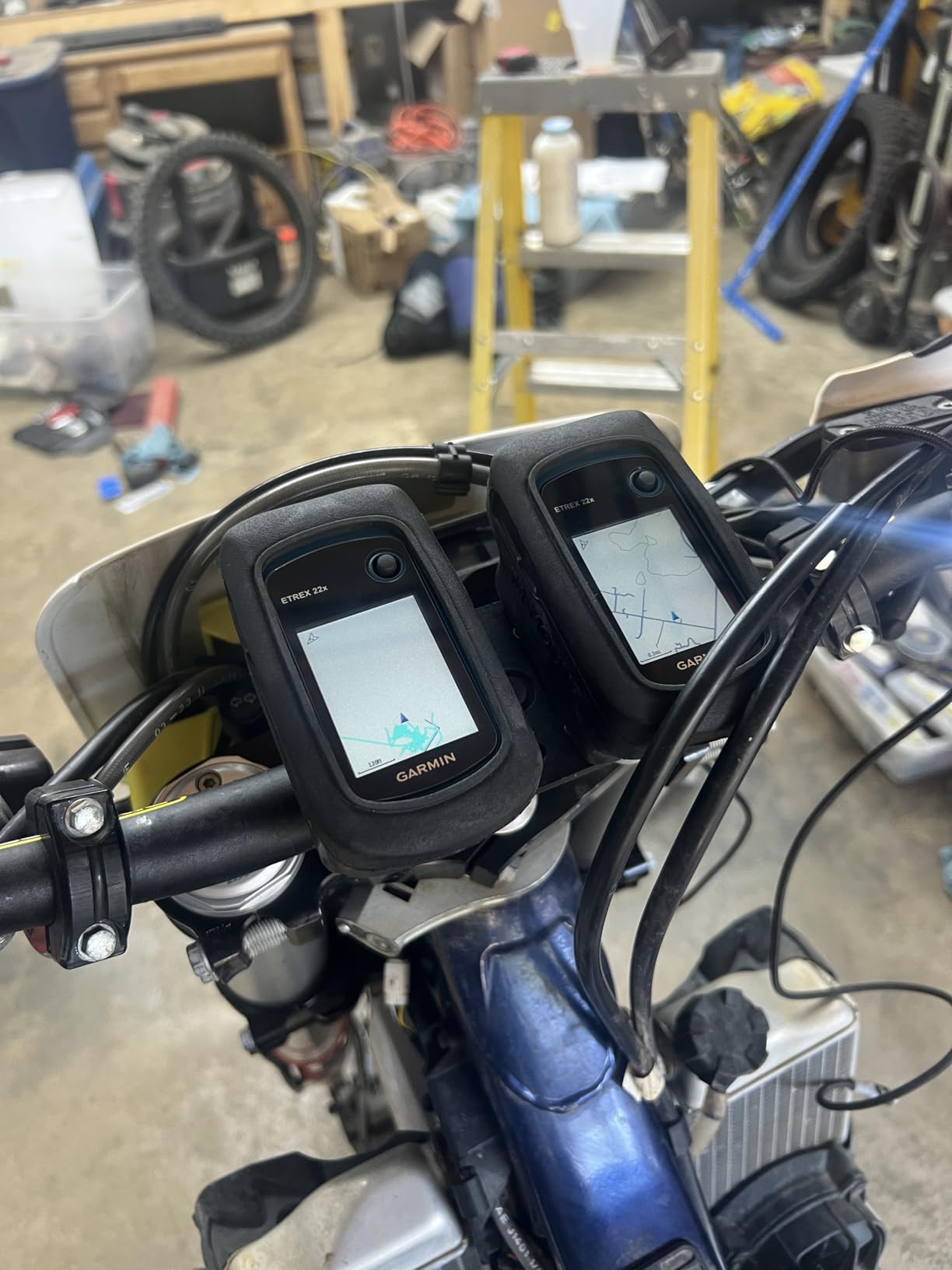
The receiver supports GPS and GLONASS, so it is tracking two satellite constellations at once rather than one. That translates to faster positioning and a lock that holds better under tree cover and in slot canyon terrain, which is where single-constellation units start to wander. Bluetooth is present for wireless syncing, though there is no Wi-Fi.
Maps are the other half of the story. TopoActive maps with routable roads and trails come preloaded, so the unit is useful straight from the box on a hiking or cycling trip. Extra regions are a separate purchase, which catches out first-time buyers who buy a unit for a trip abroad and find the preloaded coverage does not match their destination.
What Decides This Purchase
The screen size is the deciding factor, and it is small. At 2.2 inches with 240 by 320 pixels, the color panel is readable in direct sun but cramped when you are trying to follow a detailed contour map without stopping. If you plan to navigate on the move across complex terrain, step up to a 3 inch or 5 inch unit.
The joystick and keypad interface also feel dated to anyone used to modern touchscreens. That is a feature, not a bug, for anyone wearing gloves or working in freezing rain, and r/hiking threads about cold-weather use keep coming back to it.
Map Loading and Storage Planning
Use the 8 GB of internal memory and the microSD slot together. Download the regions for your trip before you leave, since map transfers are far less pleasant over a weak connection, and check that the region covering your trail is the one actually loaded rather than the basemap that shipped in the box.
If you also need a wearable, our picks for the best GPS watches for triathletes cover wrist-based tracking, and r/hikinggear users debating eTrex versus watch usually end up carrying both.
3. Garmin GPSMAP 64sx: The Top Rated Button Handheld with an Altimeter
Garmin 010-02258-10 GPSMAP 64sx, Handheld GPS with Altimeter and Compass, Preloaded with TopoActive Maps, Black/Tan
Weight: 8 oz
Screen: 2.6 in color
Battery: 16 h
Systems: GPS GLONASS Galileo
Pros
- Highest rating among the button-style handhelds in this roundup
- 3-axis compass and barometric altimeter add real backcountry data
- Multi-GNSS across GPS GLONASS and Galileo
- ANT+ and Bluetooth for sensor pairing
Cons
- 16 hour battery life is shorter than the eTrex line
- 2.6 inch 160 x 240 screen is small and low resolution
- Preloaded TopoActive coverage limited to the US and Australia
The GPSMAP 64sx is the unit to buy if the terrain is steep and you care about altitude. It carries a 3-axis electronic compass and a barometric altimeter, and paired with a quad-helix antenna and multi-GNSS reception across GPS, GLONASS and Galileo, it holds a position in places that defeat simpler handhelds.
That combination is why it scores 4.5 stars across its reviews, the highest rating among the button-operated models here. Reviewers consistently single out the receiver and the sensor package rather than the screen, and that is the right way to think about it: the extra ounce and extra hour of battery buy you a position you can trust when the map alone is ambiguous.
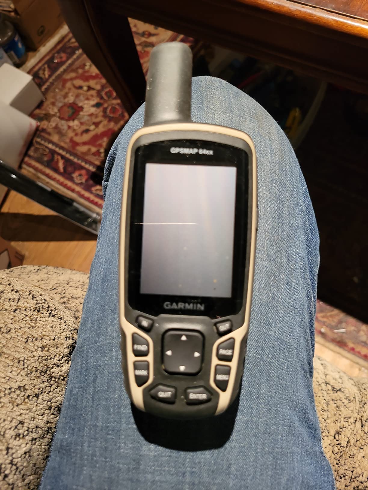
Connectivity is modern for a button unit. Bluetooth and ANT+ let you pair external sensors and sync wirelessly, and a microSD card slot means map storage is not a constraint the way it is on the eTrex 10. Geocaching is supported in paperless form, which matters more than it sounds if you use the platform regularly.
The trade-offs are the display and the clock. The 2.6 inch panel runs at 160 by 240 pixels, which is coarse next to the eTrex 22x, and 16 hours of GPS-mode battery life is the shortest of any button model here. A 2.6 inch color screen in direct sun is workable for route confirmation rather than detailed map study.
When the Altimeter and Compass Earn Their Keep
Route finding on steep ground is where this unit earns its place. A barometric altimeter gives you elevation readings that a bare GPS position cannot, and a three-axis compass keeps a bearing when the sky is blocked and the receiver is estimating rather than fixing.
Snow-covered approaches, forested descents and any trip where a wrong side of a drainage matters are the situations where those sensors pay back their extra weight. The microSD slot and the multi-constellation receiver reinforce the same point: this is the button handheld to buy if the trip is harder than the average day hike.
Screen and Runtime Trade-Offs to Plan Around
If your hiking is on wide open trail with clear wayfinding, the eTrex 22x gives you a sharper screen and about nine more hours per set of batteries. Choose the GPSMAP 64sx when the route question is genuinely hard, not merely long.
Also check your map region before you buy. The preloaded TopoActive coverage listed for this model covers the US and Australia, so hikers planning elsewhere need to sort out additional map data first. That regional-locking behaviour catches people out across this whole category, not just this model.
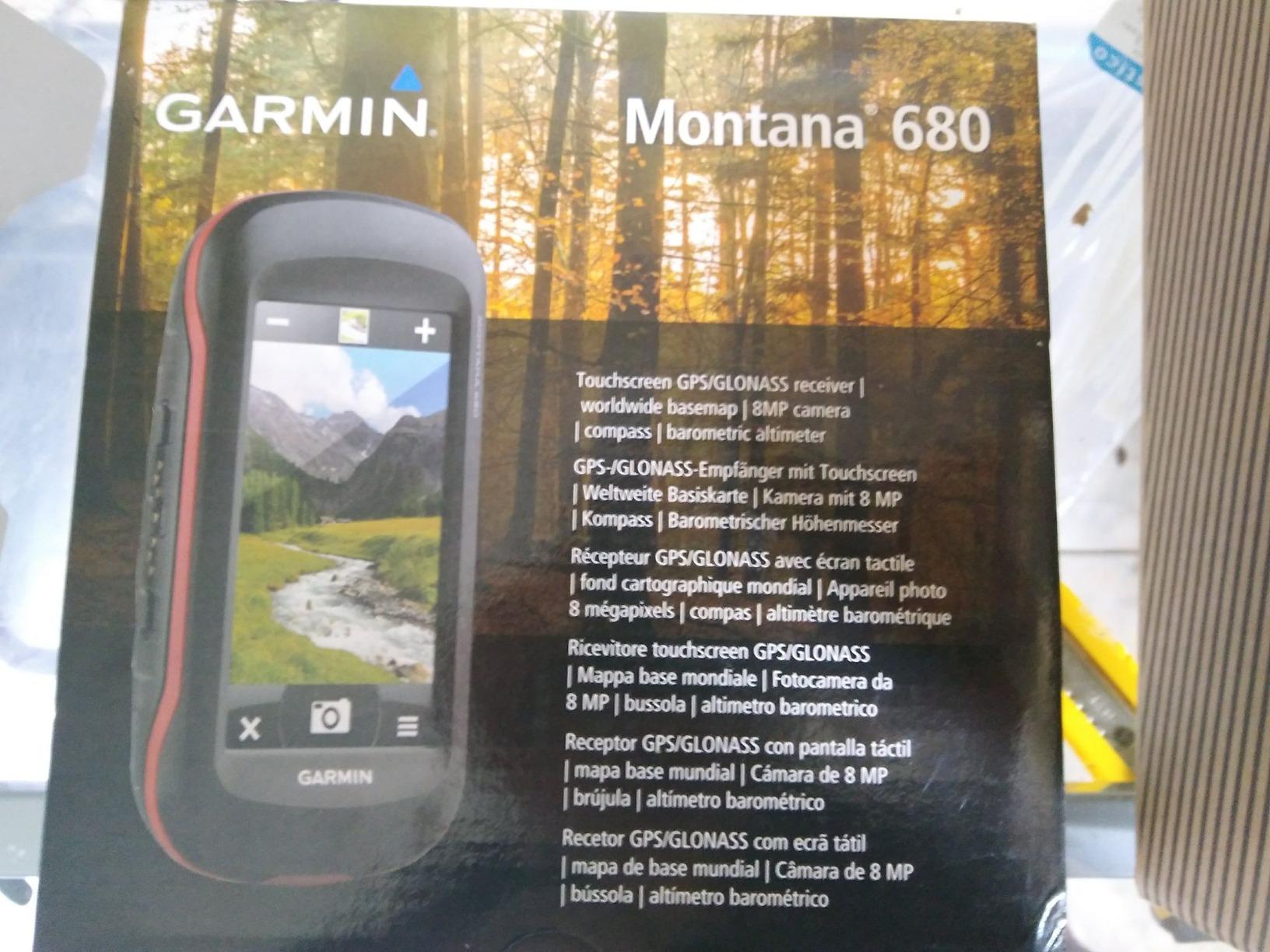
4. Garmin Montana 680: The Big-Screen Handheld with a Built-In Camera
Garmin Montana 680, Touchscreen Hiking Handheld, GPS/GLONASS with 8 Megapixel Camera
Screen: 4 in touchscreen
Weight: 11.6 oz
Battery: 16 h
Camera: 8 MP geotagged
Pros
- Large 4 inch touchscreen that is far easier to read than button-only handhelds
- Works reliably in heavy forest and deep canyon terrain
- Built-in 8 megapixel camera geotags photos automatically
- 250000 preloaded worldwide geocaches
Cons
- Detailed maps are not preloaded and must be downloaded
- Only 4 GB internal memory and map transfers can be slow
- Desktop software has a steep learning curve for new users
The Montana 680 is where the roundup shifts from button work to touch. A 4 inch color touchscreen at 272 by 480 pixels is a genuinely large canvas for a hiking device, and for hikers who read terrain rather than follow waypoints, that size changes how the unit feels in the hand.
It runs on a rechargeable lithium-ion battery with AA fallback, and the spec sheet lists 16 hours of average life. That is shorter than the eTrex units, and it is the first thing you will notice when comparing this class of device against a button model: touchscreens cost you hours.
The receiver is a WAAS-enabled high-sensitivity unit with HotFix and GLONASS support. Reviewers report that it holds a lock in heavy forest and deep canyon terrain, which is the situation that matters most in the backcountry. Navigation performance is not the weakness on this model; software setup is.
Two extras set it apart. An 8 megapixel geotagged camera means you can photograph a junction and navigate back to it later, and 250000 worldwide geocaches come preloaded, which is a real convenience if you chase them. A one-year subscription to satellite imagery is included for the overhead view.
Setting Up the Montana 680 Before You Leave
The single most repeated complaint in the reviews is that detailed maps are not preloaded on this model and have to be downloaded through the desktop software, where transfers are slow on only 4 GB of internal memory. Plan that download at home on a good connection, not in a trailhead parking lot.
Second complaint, same source: the desktop software has a learning curve that several first-time buyers found confusing. If you are comfortable installing a program and waiting for a map package, this is a solvable problem. If you are not, buy the touch unit that ships with routable maps already in memory.
Is the Built-In Camera Worth the Extra Weight?
At roughly 11.6 ounces, this is the heaviest button-free unit outside the Montana line, and the camera is the reason. It is worth it if you navigate by remembering places, navigate back to camp after dark, or want geotagged photos attached to a track you record.
It is not worth it if you are simply going to hike a known trail. The eTrex 22x does the same navigation for less than half the weight and roughly nine extra hours per battery set, and for most hikers the camera is a novelty the first trip and dead weight after that.
5. Garmin Montana 750i: The Big Touchscreen With inReach Built In
Garmin Montana 750i, Rugged GPS Handheld with Built-in inReach Satellite Technology and 8-megapixel Camera, Glove-Friendly 5″” Color Touchsreen (010-02347-00)
Screen: 5 in touchscreen
Weight: 1.6 lb
Battery: 18 h
inReach SOS and two-way messaging
Pros
- Large 5 inch glove-friendly touchscreen
- Built-in inReach satellite messaging and interactive SOS
- Rugged military-grade construction with compass and altimeter
- Wi-Fi Bluetooth and ANT+ plus an 8 megapixel camera
Cons
- Heavy and bulky at 1.6 pounds
- 18 hour battery life is modest for multi-day trips
- Desktop planning software has a steep learning curve
The Montana 750i is a full navigation computer with a satellite communicator soldered in, and the pitch is simple: one device that maps your route, photographs it, and talks to rescue services when there is no bar of cell service anywhere in the valley. The 5 inch glove-friendly touchscreen is 50 percent larger than the panel on the generation before it.
For solo hikers and anyone running into terrain where a rescue could take hours to reach, that two-way messaging over the Iridium network is the reason to pay for a device in this bracket. Interactive SOS goes to a 24/7 monitoring centre, which is a different level of service from a personal locator beacon that only transmits.
Navigation is handled by multi-GNSS across GPS and Galileo with a 3-axis compass and barometric altimeter, and TopoActive plus City Navigator maps are preloaded. ANT+, Wi-Fi and Bluetooth cover BirdsEye imagery downloads, location sharing and Connect IQ apps, and the whole thing pairs with the Garmin Explore app and website for planning.
The 8 megapixel camera is a solid addition for geotagged shots. Runtime is listed at 18 hours in GPS mode, which covers most days comfortably and multi-day trips if you manage the backlight and keep spare cells or a battery bank in the pack.
What the inReach Hardware Actually Adds
Two-way satellite messaging lets you send and receive text over the Iridium network, which is what turns this into a communication device rather than simply a beacon. A party on the other end can confirm they received your check-in instead of you sending one into the void and hoping.
All of that requires an active satellite subscription. Buyers repeatedly note that the recurring cost is the part they did not anticipate, so factor the subscription into your decision before you commit rather than after.
Carrying Comfort Over a Long Day
At 1.6 pounds, this is the heaviest device in the roundup, and that weight sits on a shoulder strap or a belt all day. It is perfectly reasonable for a car-camping and day-hiking setup where the unit lives in the pack, and noticeably less pleasant for a fast pace or a long approach.
If you want the inReach capability without the bulk, the GPSMAP 66i and GPSMAP 67i further down both carry satellite communication in a far smaller body. Those are the models we would look at first if messaging is the priority and screen size is not.
6. Garmin GPSMAP 66i: The Smallest Satellite Communicator With a Subscription
Garmin GPSMAP 66i, GPS Handheld and Satellite Communicator, Featuring TopoActive mapping and inReach Technology (Renewed)
Screen: 3 in color
Battery: 35 h tracking, 200 h expedition
inReach SOS and two-way messaging
Pros
- Combines navigation and inReach satellite communication in one compact unit
- Up to 35 hours in 10-minute tracking mode and 200 hours in expedition mode
- BirdsEye imagery downloads require no annual subscription
- Cellular pairing adds active weather and Geocaching Live
Cons
- 3 inch screen is modest for reading detailed terrain
- Satellite messaging and SOS require an active subscription
- Renewed unit carries a 90 day limited warranty
The GPSMAP 66i is the argument that you do not need a big screen to get a satellite communicator. At 3 inches the display is compact, and everything else about the unit is built for trips far from help: interactive SOS to a 24/7 monitoring centre, two-way messaging over the Iridium network, and a battery that outlasts most of the roundup.
Battery figures are the headline. The rechargeable lithium pack gives up to 35 hours in 10-minute tracking mode and 200 hours in expedition mode, which is a meaningful margin on a multi-day trip where you cannot recharge. The same lithium battery also gives you AA fallback in a pinch.
Mapping is handled by preloaded Garmin TOPO mapping with direct-to-device BirdsEye satellite imagery downloads, and the imagery requires no annual subscription, which removes a recurring cost that other inReach models carry. Pairing a phone adds active weather forecasts and Geocaching Live.
Reviewers of this unit report strong satellite reliability, long battery life and accurate positioning, and the renewed units described in the reviews arrived without noticeable defects. The one recurring theme on the downside is the subscription requirement, which is unavoidable with inReach hardware.
Reading the Tracking and Expedition Numbers
Tracking mode is the honest figure for a moving hike: the unit is logging a position every ten minutes, which is the workload that matters when you are walking. Thirty-five hours at that duty cycle covers a long trip. Expedition mode extends the interval far further, and the 200 hour figure is a number for a device sitting in a pack, not one being actively navigated.
Compare that against the 16 hour figure quoted for the GPSMAP 64sx and the roughly 20 hours on the eTrex 10, and the pattern is clear across the category: bigger touchscreens cost runtime, button units with AA power last longest, and lithium packs with a low-power mode sit in between.
What Buying a Renewed 66i Changes
This is a renewed unit, which means the warranty drops to 90 days limited. Renewed handhelds are a sensible way into inReach hardware, since the receiver and the subscription are identical, but check battery condition first, since that is the one component that ages visibly.
The 3 inch screen is the compromise to accept. It is large enough for a route overview and waypoint management, and too small for reading dense topographic detail at a standstill, so hikers who study contour lines should look at a bigger panel.
7. Garmin Montana 700i: The Five-Inch Touchscreen for Satellite Texting
Garmin Montana 700i, Rugged GPS Handheld with Built-in inReach Satellite Technology, Glove-Friendly 5″ Color Touchscreen (Renewed)
Screen: 5 in transflective
Weight: 1.5 lb
Battery: 16 h
inReach two-way messaging
Pros
- Satellite texting works reliably where cell coverage fails
- Large 5 inch glove-friendly transflective touchscreen
- Positioning and weather forecasts proved accurate in desolate areas
- ANT+ Wi-Fi and Bluetooth connectivity with BirdsEye imagery
Cons
- Bulky and heavy at 1.5 pounds
- Slow Wi-Fi and Bluetooth syncing with phone and apps
- Desktop software bugs can affect tracks and waypoints
- Uses micro-USB instead of USB-C
The Montana 700i is a 5 inch transflective touchscreen handheld with inReach built in, and it is the version of that idea that most hikers meet on sale lists. The transflective WVGA panel is unusual in this category: it is genuinely readable in direct sun, which is exactly the condition where ordinary transmissive screens wash out.
Satellite texting is the reason to consider it. Reviewers of this unit report that two-way satellite messages worked reliably where cell coverage failed entirely, and that the active weather forecasts proved accurate in situations where phone apps had nothing to offer.
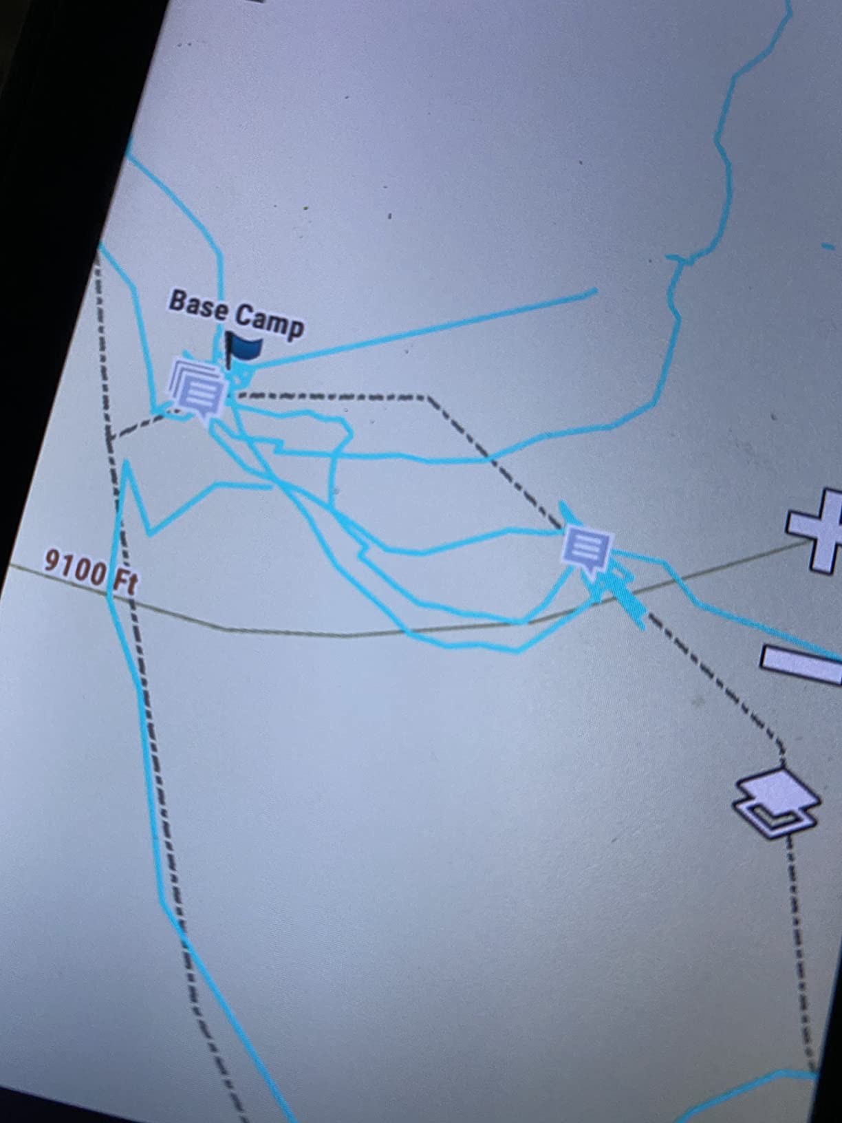
Navigation runs on multi-GNSS across GPS and Galileo with a 3-axis compass and barometric altimeter, and TopoActive and City Navigator maps are preloaded. ANT+, Wi-Fi and Bluetooth cover BirdsEye imagery, location sharing and Connect IQ apps, and the unit pairs with the Garmin Explore app and site.
Listed battery life is 16 hours, which is the shortest figure among the 5 inch touchscreens in this roundup. Reviewers also report slow Wi-Fi and Bluetooth syncing with phones and apps, which is worth knowing if you plan to load maps or review tracks at the trailhead.
Satellite Texting in the Field
Two-way messaging over the Iridium network with interactive SOS to a 24/7 monitoring centre turns this into a genuine communications device rather than a navigation tool with a radio bolted on. For a solo hiker crossing a drainage with no coverage, that is the feature that justifies the bulk.
As with every inReach model here, the hardware only does this with an active subscription, and the recurring cost is the part of the purchase that buyers most often underestimate. Budget for it as an ongoing cost rather than a one-time feature.
Software and Charging Friction to Expect
The recurring complaints are practical rather than navigational. Syncing with the phone and desktop software is described as slow and clunky, and the desktop planning tool has reportedly been capable of losing tracks and waypoints during sync for some users. Keep a local backup of any track you care about.
This unit also charges over micro-USB rather than USB-C, so you may need a specific cable, and the renewed warranty is 90 days limited. At 4.0 stars across its reviews it is the lowest-rated member of the Montana family in this roundup, and the software friction is the main reason for the gap.
8. Garmin Rino 750t: The Handheld GPS With a Built-In Two-Way Radio
Garmin Rino 750t Two-Way Radio with Topo Mapping
Radio: 5-watt GMRS, 20 mile range
Screen: 3 in touchscreen
Battery: 18 h on AA
Pros
- Combines full topographic mapping with a 5-watt GMRS radio in one unit
- Up to 20 mile range with voice and unit-to-unit text messaging
- Position reporting shows other Rino users on the same channel
- Dual battery system gives 18 hours on AA batteries
Cons
- AA batteries are sold separately
- Radio range is line-of-sight dependent and terrain limited
- 3 inch screen is small for detailed map work
- Weather features are not available in all areas
The Rino 750t is the odd one out in this roundup, and that is exactly why it earns a place. It is a full topographic handheld with preloaded TOPO maps and a worldwide basemap, and it also contains a 5-watt GMRS two-way radio with up to 20 miles of range. Nothing else in the list does both.
That combination suits a specific trip: a group split across a long valley, a guide leading clients, or a family where you want to check in without waiting for a satellite text queue. The radio handles voice, and it also does unit-to-unit text messaging between paired Rino devices.
Position reporting is the quietly useful feature. When you are on the same channel, your unit shows where the other Rino users on that channel are sitting, which turns a group hike into something you can coordinate rather than merely share.
When a Two-Way Radio Changes the Plan
GMRS gives you instant local communication with no subscription, no satellite and no infrastructure, which is why group users gravitate to it. If your party gets separated on a trail, a channel check is faster than a text, and it works where a phone has no service at all.
Bluetooth headset connectivity means you can leave the unit in a pocket or on a shoulder strap and talk hands-free, and smart notifications plus automatic uploads through the Garmin Connect app keep the unit current when you are near coverage.
Range Limits and Terrain Reality
Radio range is line-of-sight dependent. Twenty miles is a figure for open valley floor, and a single ridge, a canyon wall or dense forest will cut it dramatically. Treat the radio as a group coordination tool rather than a guaranteed link to a distant campsite.
The dual battery system is a genuine plus: roughly 14 hours on the lithium-ion pack and 18 hours with AA batteries, so you can carry cells if you are away from a vehicle. Note that the AA batteries are a separate purchase, and that the 3 inch screen is on the small side for close map work. It also has a 3-axis compass, accelerometer and barometric altimeter for navigation.
9. Garmin GPSMAP 67i: The Multi-Band Satellite Communicator for Hard Terrain
Garmin GPSMAP 67i Rugged GPS Handheld with inReach® Satellite Technology, Two-Way Messaging, Interactive SOS, Mapping (Renewed)
Weight: 8.1 oz
Battery: 165 h tracking, 425 h expedition
Multi-band GNSS
inReach two-way messaging
Pros
- Highest rating in this roundup with excellent accuracy near buildings and under canopy
- Up to 165 hours in tracking mode and 425 hours in expedition mode
- Reliable satellite messaging when out of cell coverage
- Light at 8.1 ounces with a rugged transflective color display
Cons
- Auto-routing can favor roads over direct cross-country lines
- Satellite features require an active subscription
- Renewed unit carries a 90 day limited warranty
The GPSMAP 67i is the most capable navigator in this roundup, and the reason is a single word in the spec sheet: multi-band GNSS. That is what lets the receiver hold a tight, stable position in the places where a normal handheld wanders, which means cities, deep forest, canyon bottoms and heavy canopy.
It is also the smallest satellite communicator here by a wide margin, at 8.1 ounces with a 3 inch transflective color display at 240 by 400 pixels. You get inReach two-way messaging and location tracking over the Iridium network with interactive SOS to Garmin Response, and preloaded TopoActive mapping with satellite imagery.
Battery life is where the numbers stop being modest. The rechargeable pack runs up to 165 hours in 10-minute tracking mode and 425 hours in expedition mode, which is the kind of margin that lets a hiker stop thinking about charging entirely. Sixteen gigabytes of internal memory holds substantial map detail.
Pairing a phone brings active weather forecasts and Geocaching Live, trip planning runs through the Garmin Explore website and app, and an Outdoor Maps+ subscription delivers premium mapping content to the device over Wi-Fi. It is a full trip computer rather than a simple navigator.
Multi-Band GNSS Where Signals Get Hard
Multi-band receivers listen to the same signal on more than one frequency band, which is what separates them from single-frequency units in exactly the terrain hikers worry about. Tree canopy, slot canyons and the shadow of a cliff wall are where cheaper units drift by several metres or lose the fix outright.
Reviewers of this model point to accuracy near buildings and under canopy as the standout, and they mention using it in the Canadian Rockies and for geocaching and field work. If your hiking happens in places where a wrong turn has consequences, this is the accuracy ceiling in this roundup.
Subscription, Routing and Setup Trade-Offs
The main functional complaint in the reviews is routing behaviour: automatic route calculation can steer you onto road beds rather than the direct cross-country line you wanted, which is a real problem for hunting and backcountry work where the road is not the route. Learn to use the straight-line navigation and manual waypoint tools rather than trusting the automatic line.
Satellite features need an active subscription, there is a familiarising period before every function makes sense, and as a renewed unit the warranty is 90 days limited. At 4.7 stars it is the highest-rated device here, though on a smaller review base than the eTrex units.
10. Garmin Montana 760i: The All-In-One Touchscreen With a Geotagging Camera
Garmin Montana® 760i, GPS Handheld Navigator, Built-in Camera, inReach®
Screen: 5 in touchscreen
Weight: 14.5 oz
Battery: 24 h, 432 h expedition
32 GB + 8 MP camera
Pros
- Built-in 8 megapixel autofocus camera geotags photos for navigating back
- 32 GB memory holds extensive map downloads
- 24 hours in GPS mode and 432 hours in expedition mode
- USB-C charging and MIL-STD 810 plus IPX7 rugged construction
Cons
- Most expensive device in the roundup
- 14.5 ounce body is bulky for on-foot carry
- Satellite messaging and SOS require an active subscription
The Montana 760i is the current top of the Montana line, and it packages the widest feature set of anything here: a 5 inch glove-friendly color touchscreen, inReach two-way messaging and interactive SOS, and a built-in 8 megapixel autofocus camera. The camera is the differentiator, since it geotags every shot and lets you navigate back to a location you photographed rather than one you wrote down.
Battery figures are the best in the touch class, with up to 24 hours in GPS mode and 432 hours in expedition mode on the rechargeable lithium-ion pack. USB-C charging is a real quality-of-life improvement over the older Montana models.
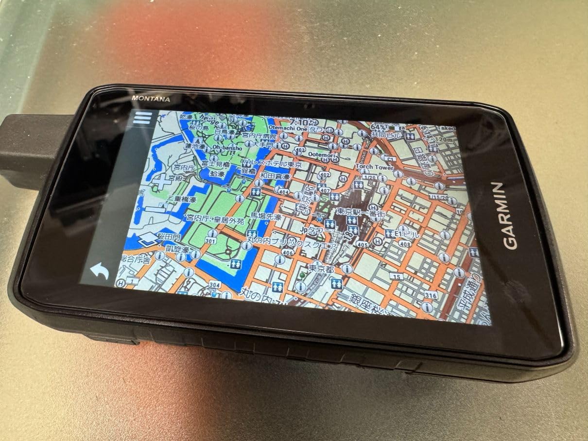
Storage is expanded to 32 GB, which is enough to carry large map regions plus photo storage without swapping cards. TopoActive and City Navigator maps are included, downloadable satellite imagery gives a photorealistic overhead view, and BlueChart g3 charts are available for anyone who also spends time on the water, which is covered in more detail in our marine GPS unit guide.
Construction is MIL-STD 810 rated for thermal, shock and vibration with IPX7 water resistance, and the unit supports Bluetooth, Wi-Fi and USB alongside the Garmin Explore app. Roughly three quarters of its reviews are five star, which points to broad satisfaction once the setup is done.
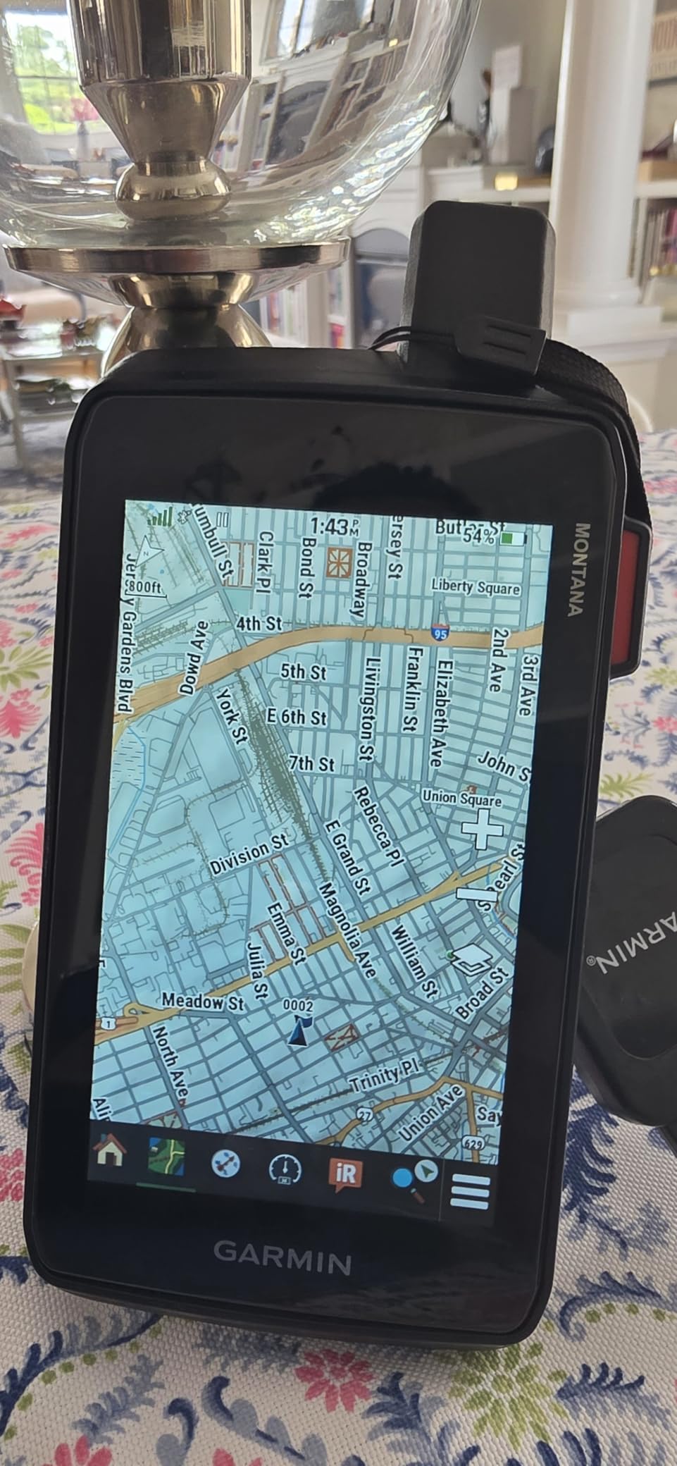
Photo Navigation and Memory Headroom
The autofocus camera is what separates this from a Montana 700i. On a route with junctions that look identical, a geotagged photo of the correct fork is faster to match than a written note, and the 32 GB of memory means the photos live on the device rather than on a card you have to remember.
For hikers who do not photograph the route, this is wasted capability. In that case the money is better spent on a smaller unit with the same satellite communicator, where the weight goes into capability you will actually use.
Weight, Cost and Subscription Commitments
At 14.5 ounces this is a substantial object to carry on foot, noticeably heavier than the GPSMAP 67i at 8.1 ounces. It works well mounted on a shoulder strap or a chest harness for day hiking, and it is a lot of device to haul on a fast multi-day trip.
It is also the most expensive unit in this roundup, and the inReach features need an active subscription on top. A small share of reviews are one star and point to software and mapping frustration, so allow time to set up the maps and the app before a trip rather than on the trail.
Do You Actually Need a Handheld GPS? Phone Versus Handheld in 2026
This is the most argued question in every hiking forum we looked at, and the honest answer is that for a lot of trips, a phone is enough. Top-voted replies on r/hiking frequently argue that a phone with an offline map app is the best navigation tool most hikers will ever use, and for marked trails with a phone charged in your pack, that is a fair position.
The case for a dedicated handheld falls into three places. First, battery: a phone that has to double as your camera, music and emergency beacon may not survive a cold multi-day trip, and a button handheld running on AA cells can be measured in days. Second, durability: a device rated IPX7 or MIL-STD 810 tolerates falls and rain in a way a phone does not. Third, satellite messaging, which no phone app provides without a paired communicator.
A phone is also a map app rather than a map-grade navigator. That distinction matters in terrain with no trails: a handheld with preloaded topographic data, a barometric altimeter and a three-axis compass gives you information an app drawing a trackline across a slope does not.
What a Phone App Does Better
Apps such as Gaia GPS, CalTopo and AllTrails have the better planning side. Route creation, map downloads, elevation profiles and trail discovery are easier on a phone screen, and members of the forums.paddling.com community and r/CampingandHiking often end up carrying a phone as the primary device with a cheap handheld as a backup.
For a trip where you will not leave the trail or need detailed contour reading, that combination is entirely sufficient. Many through-hikers treat a phone this way and keep a paper map as the real fallback.
What Only a Handheld Does
Three things. Cold operation: a glove-compatible button interface stays usable at temperatures where a capacitive touchscreen stops responding reliably, which is why button units keep dominating winter and alpine recommendations. Power: replaceable AA cells beat a power bank in cold conditions, where lithium capacity drops.
And communication. If you want an SOS that reaches a monitoring centre or two-way satellite messaging, that is inReach hardware, and the recurring subscription is the price of the capability. Nothing on a phone replaces it on its own.
The Middle Ground Most People Choose
Carry both. A phone for planning, track review and group communication, and a small button handheld such as the eTrex 22x as the durable navigator that survives cold, water and a dead battery. That is the arrangement several r/CampingandHiking members describe, and it costs less than any single premium unit.
Whichever you choose, carry a paper map and a compass as well. A GPS never replaces the skills, and forums repeatedly treat the paper backup as mandatory rather than optional.
How to Choose a Handheld GPS Unit for Hiking in 2026
Most buying mistakes come down to four questions: how the unit is powered, how it finds satellites, what maps it can hold, and whether you need messaging. Here is how each one should shape your decision.
Battery Life: What the Numbers Really Mean
Battery life is the first thing hikers compare, and the quoted figures need context. The number in the spec sheet is a mode-specific figure under lab conditions, and the mode matters enormously. In this roundup the button units quote roughly 16 to 25 hours in GPS mode on AA cells, while the touchscreens quote 16 to 24 hours on internal lithium packs, and the same lithium packs stretch into the hundreds of hours in expedition mode.
Expedition mode is the power-saving setting that throttles the receiver between position fixes. The 200 hour and 425 hour expedition figures quoted by the GPSMAP 66i and 67i are not numbers for active navigation; they are numbers for a device carried in a pack. Use them to compare standby endurance, not working endurance.
Then discount all of it for reality. Cold weather reduces lithium capacity, backlight use drains fast, and a rechargeable pack you cannot recharge on a trip is a liability rather than a convenience. Forums repeatedly report the fix: carry spare AA cells, drop the backlight to a low setting, and put the unit in a pocket against your body between checks.
Accuracy: What Multi-Band GNSS and WAAS Actually Do
A handheld GPS resolves your position to somewhere in the range of 3 to 10 metres under normal conditions, which is often better than the roughly 4.9 metres a modern phone reports and is dramatically better in terrain where a phone has no fix at all. WAAS is a correction signal broadcast from geostationary satellites that tightens that figure further in North America.
Satellite systems are the second factor. GPS alone is one constellation. GPS plus GLONASS, Galileo, BeiDou and QZSS means more satellites in view at once, which produces a faster, more reliable fix. Multi-band GNSS goes further, listening on two frequency bands so the receiver can correct its own signal error, which is why the GPSMAP 67i holds position near buildings and under canopy where the others drift.
Understanding the failure modes matters as much as the number. Tree canopy blocks and reflects signals. Slot canyons have almost no sky visible. A unit that is accurate in the open can be a metre off in the wrong direction on a forested slope, which is why a compass and a paper backup still matter.
Maps: What Comes Preloaded and What Costs Extra
Every unit here ships with a basemap, and that basemap is not what hikers assume it is. Region-locking is the standard trap: models listed with worldwide basemaps may still restrict detailed topographic coverage to the US and Australia, as the GPSMAP 64sx does, and a unit bought for a trip abroad may arrive with the wrong data. Check the map region before you buy.
After purchase, most units add detail through TopoActive region packs, and some support BirdsEye satellite imagery delivered directly to the device. The GPSMAP 66i stands out because its imagery downloads require no annual subscription, while the GPSMAP 67i pushes premium content through an Outdoor Maps+ subscription over Wi-Fi, and inReach-equipped models carry a recurring satellite subscription of their own.
Free topographic data is genuinely available and most hikers never use it. USGS and NAIP imagery, plus state GIS portals, can be downloaded and loaded onto a unit with a microSD card or internal memory. It takes more work than buying a region pack, but it costs nothing and it removes the region lock entirely.
Buttons Versus Touchscreen in Cold Weather
Touchscreens are better at planning and map reading, and worse at everything that happens while you are wearing gloves. The tactile button units here can be operated blind with thick gloves on, and capacitive screens become unreliable in freezing rain. If your hiking includes winter, alpine or any early start in cold conditions, the button interface is not a compromise.
The cost of a touchscreen is not just the glove problem. It is battery life, since a backlit colour panel drains far faster than a reflective monochrome one, and it is weight, since larger panels need bigger bodies. If you want touch, accept a shorter runtime and plan spare power.
Weight, Mounting and Geocaching
Weight runs from about five ounces for the eTrex units to 1.6 pounds for the Montana 750i. On a multi-day trip that difference is a real share of a loaded pack, and ultralight hikers have a separate answer in dedicated trail-running GPS watches, though the 2026 roundup of GPS watches is the better place to compare those.
Mounting matters more than buyers expect. A handheld on a lanyard bounces and is impossible to read while walking, while a chest or shoulder harness keeps the screen at a readable angle. Whatever you choose, test the mount on a long walk before the trip.
For geocachers, look for paperless support and a usable screen rather than raw accuracy. The eTrex 10, the eTrex 22x and the Montana 680 all support paperless geocaching, and the Montana 680 alone ships with a large cache database preloaded. A dedicated geocaching handheld is a different product category with paperless-specific firmware, and it beats all of these for finding a specific listed cache.
Frequently Asked Questions
What is the most accurate handheld GPS unit?
The Garmin GPSMAP 67i is the most accurate in this roundup, and the reason is multi-band GNSS, which corrects signal error and holds a tight fix near buildings, under tree canopy and in canyon terrain. It rates 4.7 stars. Most units resolve position to 3 to 10 metres, so in open country the gap is small and the difference only matters in hard terrain.
What is the best handheld GPS for hikers?
The Garmin eTrex 22x is the best handheld GPS for most hikers, combining a sunlight-readable color display, preloaded TopoActive maps, GPS and GLONASS reception and about 25 hours of battery life on two AA batteries. The eTrex 10 is the simpler, lighter choice for day hikes, and the GPSMAP 67i is the step up for satellite messaging and hard terrain.
Is a handheld GPS worth getting?
It is worth it if you hike remote backcountry, go in cold weather, take multi-day trips or travel solo far from cell coverage. On marked day trails with a phone charged in your pack, a phone with offline maps such as Gaia GPS or CalTopo is enough. Many hikers carry both, using the phone for planning and a handheld for navigation and power.
Do handheld GPS units work without cell service?
Yes. A handheld GPS receives signals from satellites directly, so it needs no cellular network at all. Mapping, waypoints, tracking and route navigation all work anywhere with a view of the sky. The only features that need connectivity are inReach satellite messaging, active weather forecasts and Geocaching Live, which pair with your phone or need a satellite subscription.
How long does a handheld GPS battery last?
Button models with AA batteries run roughly 16 to 25 hours in GPS mode, and you can carry spare cells. Touchscreen models with internal lithium packs last 16 to 24 hours per charge, and the same packs stretch to 200 hours or more in low-power expedition mode. Cold weather and backlight use both cut these figures, so plan spare power for multi-day trips.
What is the best GPS device for geocaching?
The Montana 680 stands out here because it ships with 250000 preloaded worldwide geocaches and a 4 inch touchscreen for reading cache descriptions, and the GPSMAP 66i adds Geocaching Live through phone pairing. For serious paperless caching, a dedicated geocaching handheld runs purpose-built firmware that manages logging far better than a general hiking unit.
The Best Handheld GPS Units for Hiking: Final Verdict
The Garmin eTrex 10 is our best handheld GPS for hikers overall, on the strength of being the most proven unit in the group, a body that adds about five ounces to a pack, and roughly 20 hours of runtime on two AA batteries. The Garmin eTrex 22x is the better starting point if you can only carry one and want a color screen and downloadable maps, and the Garmin GPSMAP 67i is the answer when accuracy in hard terrain and satellite messaging matter more than screen size.
Our 2026 shortlist for the best handheld GPS units for hiking is settled: eTrex 10 for proven simplicity, eTrex 22x for value, GPSMAP 64sx for the altimeter and multi-GNSS receiver, the Rino 750t for group communication, and the GPSMAP 66i or 67i when you want to text for help from a valley with no bars. Whatever you pick, carry a paper map, a compass and a spare set of batteries.