
If you want one answer: the Garmin Foretrex 401 is the best GPS unit for ATV trails in 2026 for riders who want something that survives mud, shrugs off vibration, and runs all day on two AAA batteries. Riders who want trail maps loaded and ready straight out of the box should look at the Garmin Tread Powersport instead, and side-by-side riders who need a bigger panel should step up to the Garmin Tread 2 with its 6 inch display.
I have spent enough muddy weekends behind a handlebar to know that a trail GPS is not a luxury. Trails have no street signs, and cell service disappears the moment you pass the last forest road gate. A dedicated unit keeps working where a phone goes dark, draws a track of where you have been so you can back out the way you came, and on the right models doubles as a satellite communicator when nobody is coming to find you.
What follows is my 2026 roundup of six units I compared side by side, from a button-driven waterproof handheld to a dash-mounted UTV navigator with engine gauges. I have sorted them by what actually matters in the field: how the screen behaves in direct sun, whether the map shows the trail you are standing on, how long it survives without a cigarette lighter, and whether it stays bolted on over washboard. For context on other rider gear, see our off-road electric scooter guide and our picks for the best ATV ramps for truck loading.
Table of Contents
Top 3 Picks for ATV Trail Navigation

Garmin Foretrex 401
- Waterproof button-driven build
- Up to 17 hours on 2 AAA batteries
- Electronic compass and barometric altimeter
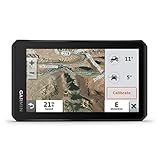
Garmin Tread Powersport
- 5.5 inch glove-friendly touchscreen
- Preloaded topo and land boundary maps
- IPX7 water rating

Garmin Tread 2
- 6 inch ultrabright display
- USFS Motor Vehicle Use Maps
- Satellite imagery via Wi-Fi
Those three cover most of the buying decisions. The Foretrex 401 wins on battery life and toughness, the Tread Powersport wins on maps that are already loaded, and the Tread 2 wins on screen real estate for a cage or dash mount.
Every GPS Unit Compared in 2026
| Product | Specifications | Action |
|---|---|---|
| Garmin Foretrex 401 |
|
Check Latest Price |
| Garmin Tread Powersport 5.5 inch |
|
Check Latest Price |
| Garmin Tread 2 6 inch |
|
Check Latest Price |
 Garmin Montana 760i Garmin Montana 760i |
|
Check Latest Price |
 NiesahYan Rugged Handheld GPS NiesahYan Rugged Handheld GPS |
|
Check Latest Price |
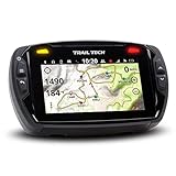 Trail Tech Voyager Pro Kit UTV Trail Tech Voyager Pro Kit UTV |
|
Check Latest Price |
Two details in that table are worth calling out before the individual reviews. Only the Montana 760i has built-in satellite messaging, and only the Foretrex 401 runs on batteries you can change in the field without a charging cable.
1. Garmin Foretrex 401 Waterproof Hiking GPS – the battery that never quits
Garmin Foretrex 401 Waterproof Hiking GPS
Up to 17 hours on 2 AAA
3.1 ounce weight
Waterproof, 100 x 64 pixel screen
Pros
- Up to 17 hours of GPS runtime on 2 AAA batteries
- Batteries are replaceable in the field with no charging cable
- Waterproof build that shrugs off mud and dust
- Only 3.1 ounces so it never gets in the way
- Electronic compass and barometric altimeter built in
Cons
- Small monochrome screen at 100 x 64 pixels
- No topographic maps built in
- Menus take many button presses to learn
The Foretrex 401 is the unit I keep on the handlebar when the ride is long and the charging cable is at home. It weighs 3.1 ounces, it is fully waterproof, and it runs up to 17 hours in GPS mode on two AAA batteries. That last spec is the whole reason it wins my top spot in 2026.
On a day ride where the quad has a working power socket, battery life is barely a factor. On a multi-day backcountry trip, or a ride where you are running a light bar and a winch off the same circuit, being able to swap in a fresh pair of batteries in twenty seconds changes the mental math completely. No charging cables in the pack, no dead unit at the far end of a drainage.
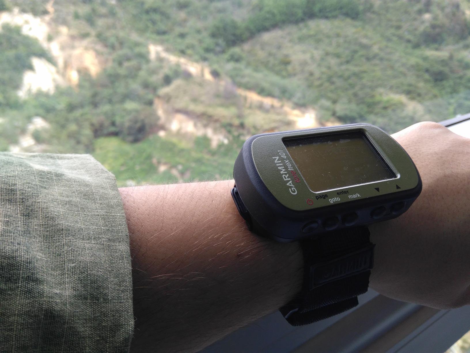
The TracBack feature is the sleeper hit on this device. It records your outbound path and then literally retraces it back to your start, which on a badly marked logging road is worth more than any satellite imagery layer. The track log holds 10,000 points, and the dual position readout lets you switch between coordinate formats, including MGRS and UTM for anyone running a map and compass the old way.
Sensors are the other quiet strength. There is an electronic compass and a barometric altimeter, plus a trip computer with sunrise and sunset times, which is genuinely useful when you are trying to make a hard push before dark. It also pairs with a heart rate monitor sold separately, which is a strange fit for an ATV until you are pushing yourself on a long climb.
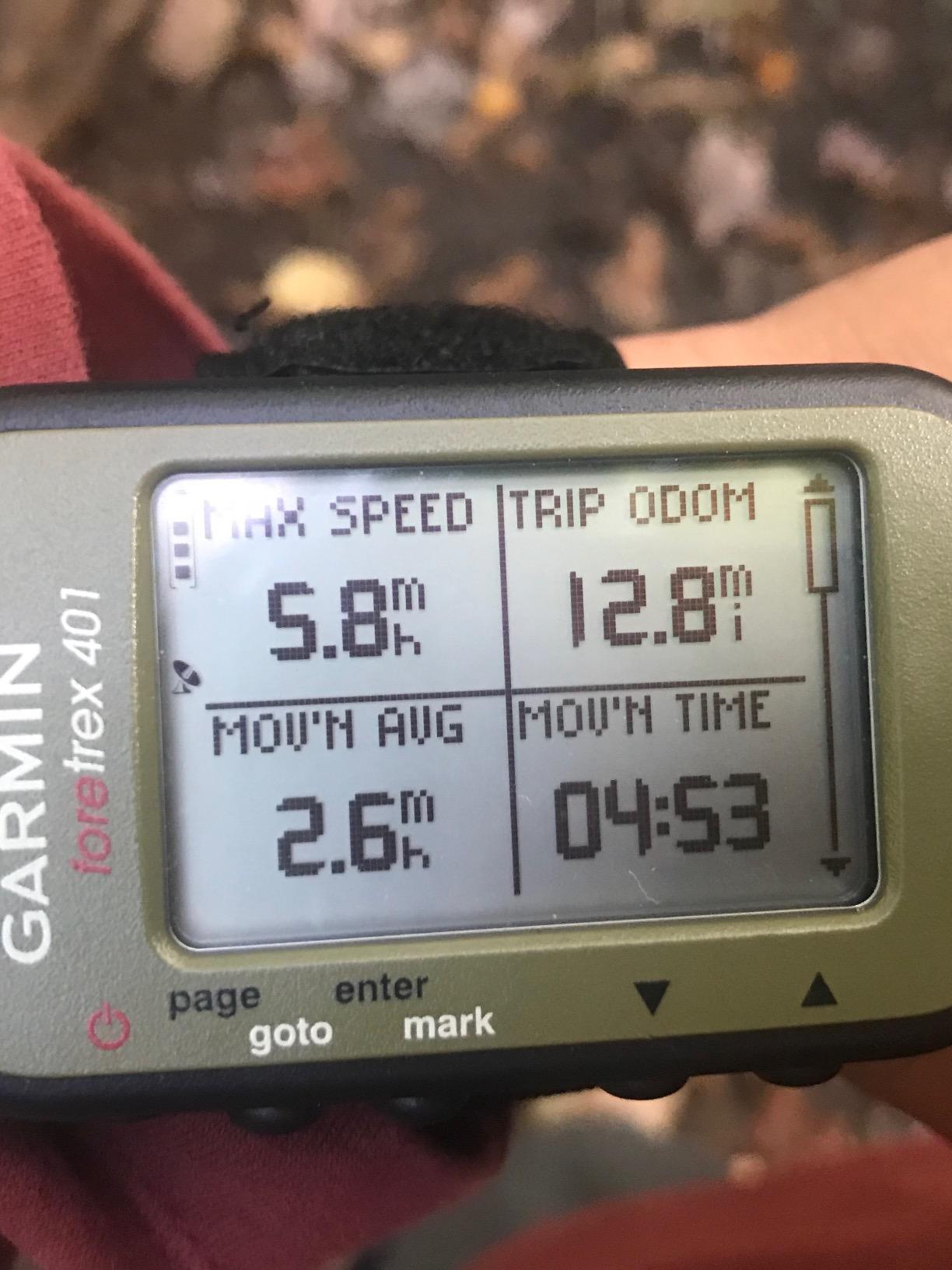
What the Foretrex 401 handles that a touchscreen cannot
Wet, gloved, muddy hands. Because every function lives on physical buttons, you can find a waypoint or mark a track point with a gloved thumb on a wet bar pad. A capacitive screen in the same conditions is a coin flip. The waterproofing is the real construction, not a coating, and the housing takes a beating that cracks plastic screens on larger units.
Where the Foretrex 401 falls short
The screen is monochrome at 100 by 64 pixels. You get a position, a track, and a handful of waypoints, but there is no preloaded topographic map, so if you have never ridden the trail before, this device will not draw it for you. Plan the route on a computer or phone beforehand and this becomes a brilliant track recorder. Buy it expecting turn-by-turn nav and you will be disappointed.
2. Garmin Tread Powersport Navigator – trail maps already loaded
Garmin Tread Powersport Off-Road Navigator, Includes Topographic Mapping, Private and Public Land Info and More, 5.5″ Display
5.5 inch glove-friendly touchscreen
IPX7 water rating
Preloaded topo maps, 6 hour battery
Pros
- Trail maps for North and Central America preloaded out of the box
- USFS roads and trails plus Motor Vehicle Use Maps included
- Public and private land boundaries drawn on screen
- BirdsEye satellite imagery with no subscription
- InReach compatible for satellite messaging and SOS
Cons
- Battery life of about 6 hours needs a powered mount for long rides
- 5.5 inch screen is small for wide cage-mounted side-by-sides
- Full feature set has a real learning curve
The Tread Powersport is the unit I recommend to someone buying their first trail GPS. It arrives with topographic maps of North and Central America already on the device, along with US Forest Service roads and trails and Motor Vehicle Use Maps, which is the layer that tells you whether a road is legally open to a side-by-side.
That preloaded data is the real value. The public and private land boundaries draw a distinct line where a green wash means open and a different shade means you are crossing onto private ground, and the iOverlander database plus Ultimate Public Campgrounds data give you fuel and water points on a long loop. Without those layers baked in, a standalone GPS is just a very expensive compass.
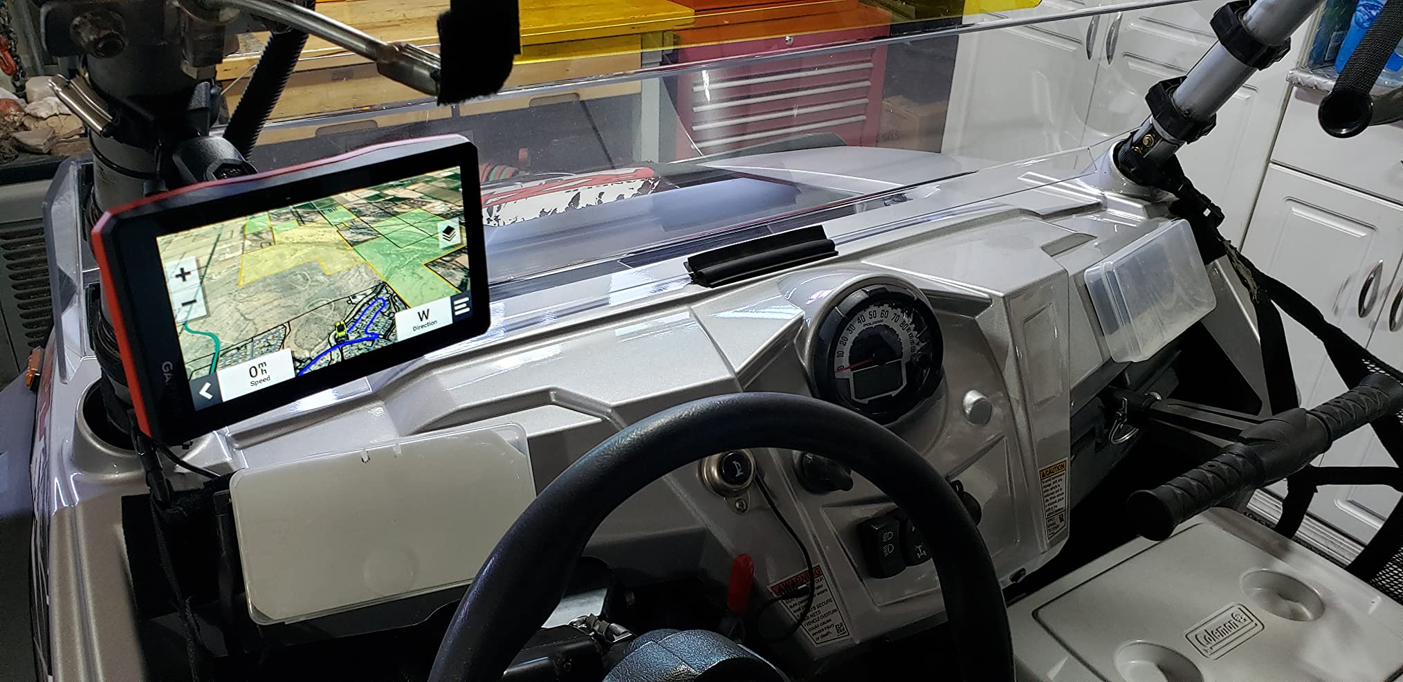
It also pairs with inReach satellite communicators and with Garmin GPS dog trackers, which matters if you hunt. The Tread app syncs waypoints, tracks, and routes, and handles GPX import and export so you can move a planned route from your laptop to the machine. Live weather comes through over Wi-Fi when you pair a phone, and pitch and roll gauges use the built-in altimeter, barometer, and compass to tell you how steep the climb in front of you actually is.
Power is the catch. The listed average battery life is about 6 hours, so on a full day ride I would hardwire it with the included power cable and run it off a switched accessory circuit. With that done, the battery figure stops mattering and the unit becomes a permanent fixture on the dash.
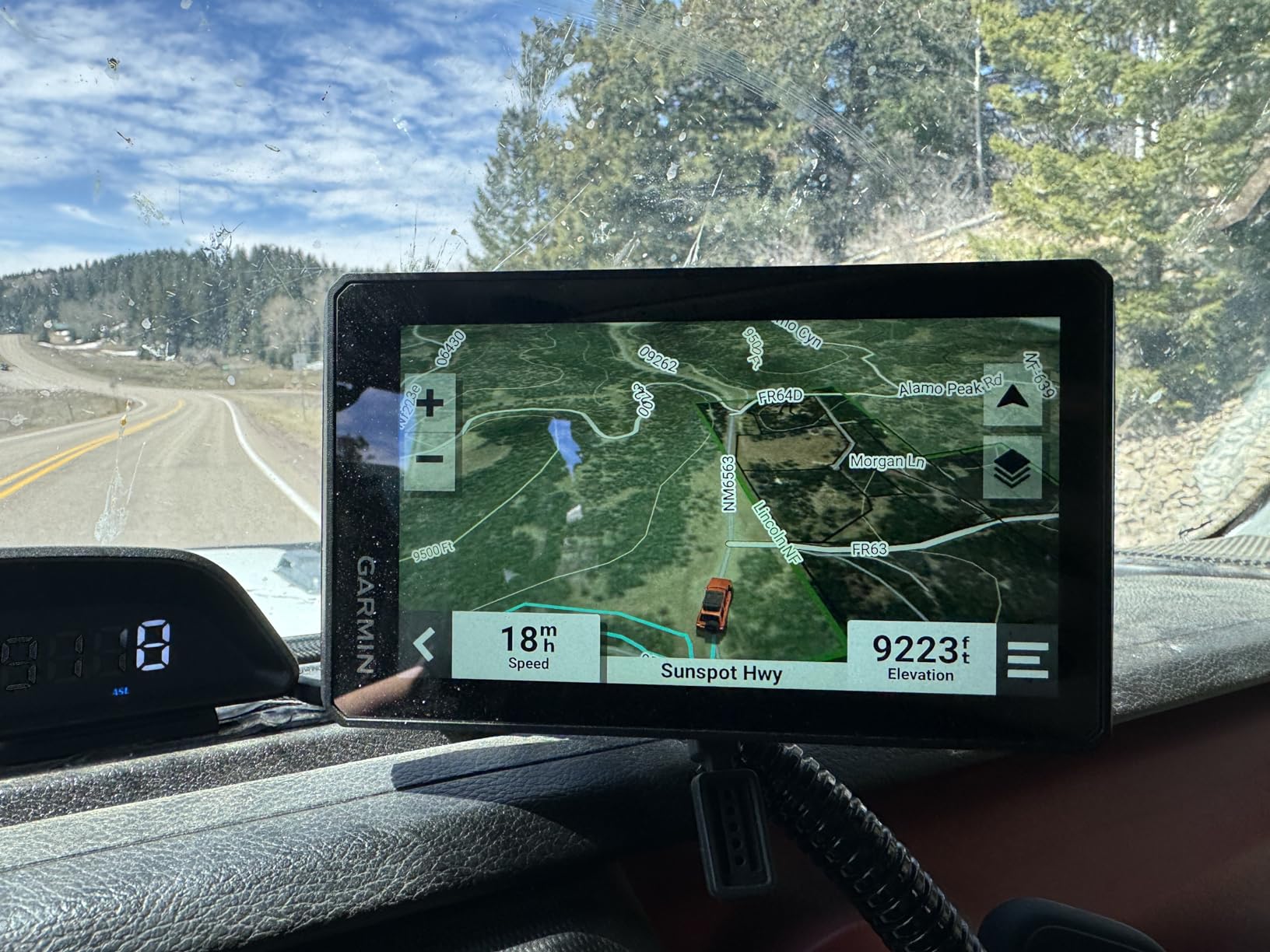
Why this is the best value pick for a quad
On a single-rider quad, a 5.5 inch panel at handlebar height is genuinely readable, and the tube mount and handlebar hardware in the box fit a standard bar without drilling. The IPX7 rating covers the creek crossings and the rain cell that catches you ten miles past the trailhead. Gloves work on the capacitive touchscreen, and the trim rings let you match the unit to the machine.
When to skip it
Buy the Tread Powersport only if you can commit to a powered mount. Running it on internal battery for a long day means a dead screen somewhere unpleasant, and the 5.5 inch size is tight if you plan to run a RAM mount on a side-by-side cage. If either of those describes you, the Tread 2 is the better purchase rather than a cheaper compromise.
3. Garmin Tread 2 Powersport Navigator – the 6 inch screen upgrade
Garmin Tread® 2, Powersport Navigator, 6″ Glove-Friendly Display
6 inch ultrabright touchscreen
IP67 water rating
7 hour average battery
Pros
- 6 inch display is the most readable in this roundup
- IP67 rating for dust and water
- OpenStreetMap and USFS Motor Vehicle Use Maps on device
- High-definition digital elevation maps
- Satellite imagery downloads over Wi-Fi with no subscription
Cons
- Battery life of about 7 hours still needs harness power
- Outdoor Maps+ premium content requires a subscription
- Group ride tracking needs cellular and the Tread app
The Tread 2 takes the Tread formula and solves the two complaints riders had most: the screen is 6 inches instead of 5.5, and the water rating moved to IP67. That is a meaningful jump on a device that lives on a dashboard in dust, mud, and rain.
It is listed for ATV, UTV, motorcycle, and snowmobile use, and the map content reflects that. OpenStreetMap and USFS Motor Vehicle Use Maps come preloaded, along with Adventure Roads and Trails data, high-definition digital elevation models, private and public land info, campgrounds, and snow trail content for select US and Canadian areas. City Navigator maps are there too, so the drive to the trailhead is handled by the same device.
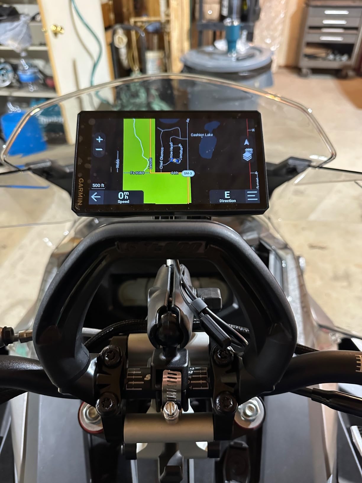
Satellite imagery downloads happen over Wi-Fi with no subscription attached, which removes one of the recurring costs riders complain about on premium units. The Tread app handles trip planning, GPX sharing, live weather radar, and the group ride mobile feature. Altimeter, barometer, compass, and pitch and roll gauges remain in the sensor stack, and the handlebar and roll tube mounts are in the box.
Where it differs from the first-generation Tread is the extras. Outdoor Maps+ support adds premium map content if you want it, which is the trade: a larger, better-protected screen and more map layers, paid for with a longer subscription menu and a newer model with a shorter review history than the unit it replaces.
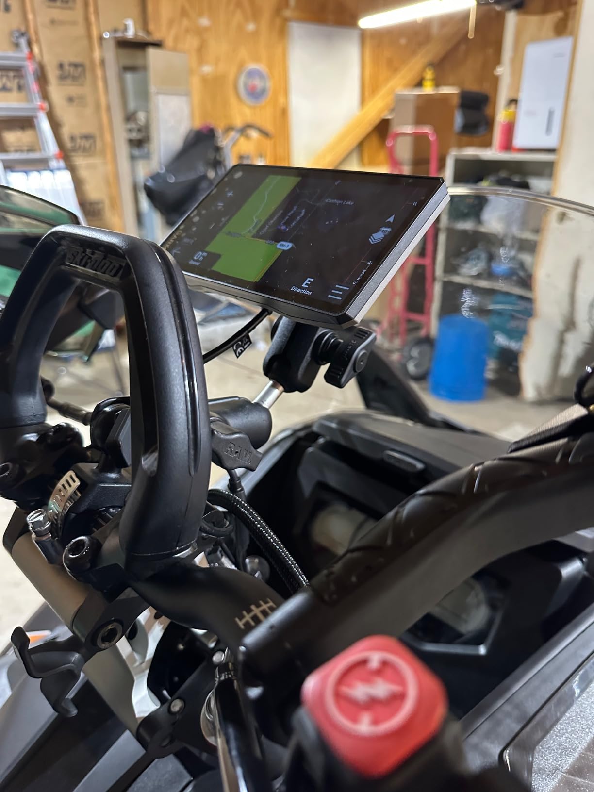
Screen size versus mount stability
A 6 inch panel is the sweet spot for a side-by-side cage or dash mount, because you can read the upcoming turn at a glance instead of studying it. It also holds the answer for glare, since the larger surface carries an ultrabright display that stays readable in open desert sun. The tradeoff is a heavier unit, so pair it with a locking RAM-style ball mount and torque the joint properly before the first washboard section.
Deciding between the Tread and the Tread 2
If you ride a quad solo, ride local trails, and mostly need the map and the track, the first-generation Tread is the sensible buy and you give up very little. Move up to the Tread 2 when you run a cage, ride at speed, or want the extra map layers and the improved IP67 rating. The jump in price is a real jump, so let the mounting setup decide it.
4. Garmin Montana 760i – satellite safety in a handheld
Garmin Montana® 760i, GPS Handheld Navigator, Built-in Camera, inReach®
5 inch touchscreen, 8MP camera
inReach satellite messaging
24 hours in GPS mode
Pros
- Built-in inReach two-way messaging
- SOS and tracking
- 8MP autofocus camera with geotagging
- 24 hours of battery in GPS mode and 432 hours in expedition mode
- MIL-STD 810 thermal
- shock and vibration rating
- IPX7 water resistance
- 32 GB of internal memory plus microSD
Cons
- InReach service is useless without a paid subscription
- Mounting hardware is sold separately
- Battery pack is not field replaceable
- Outdoor Maps+ premium content is a paid subscription
The Montana 760i is the only unit in this roundup that can talk to a satellite without help from your phone. Built-in inReach technology gives you two-way messaging, interactive SOS, and location tracking over the Iridium network, and the device supports both GPS and Galileo satellites for a faster, steadier lock under tree cover.
That capability is why I own one. On a solo ride into a drainage with no cell coverage, the difference between telling someone where you are and hoping someone comes looking is the whole ballgame. Note that inReach needs an active subscription on your account, and satellite service is regulated in some jurisdictions, so check your local rules before you depend on it.
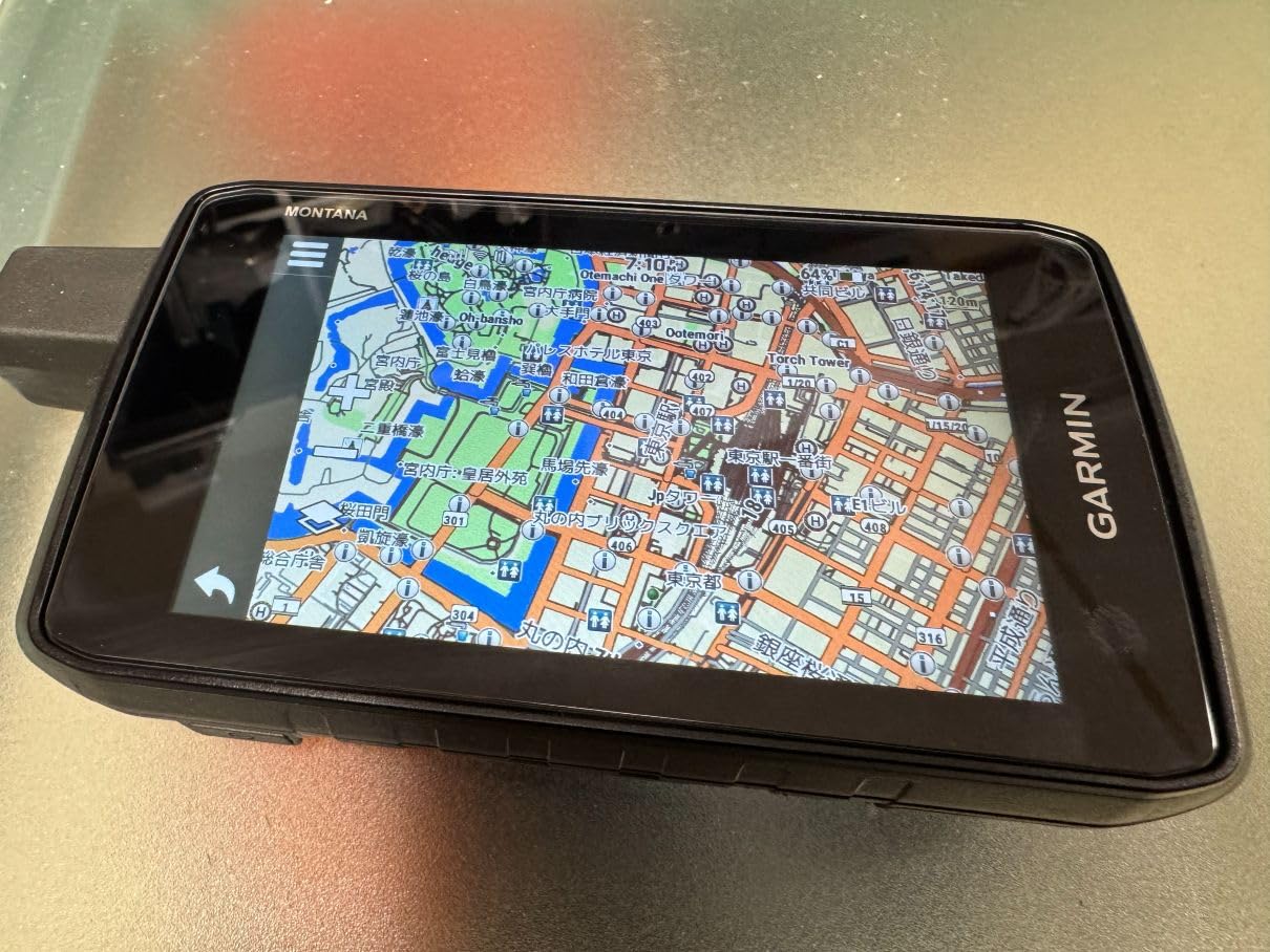
The rest of the package is strong too. The 5 inch glove-friendly color touchscreen runs at 800 by 480, the housing carries an IPX7 water rating alongside MIL-STD 810 thermal, shock, and vibration certification, and there is a built-in 8 megapixel autofocus camera that geotags every shot. TopoActive and City Navigator maps are preloaded, high-resolution satellite imagery is downloadable, and 32 GB of internal memory plus a microSD slot means you are not fighting for space when you load a region.
Battery is the quiet headline. The listed life is 24 hours in GPS mode and 432 hours in expedition mode, and a rechargeable Li-ion pack means a full day ride is not a question. Garmin Explore handles syncing from a phone, and BlueChart g3 marine charts are available separately for the water-oriented end of the range.
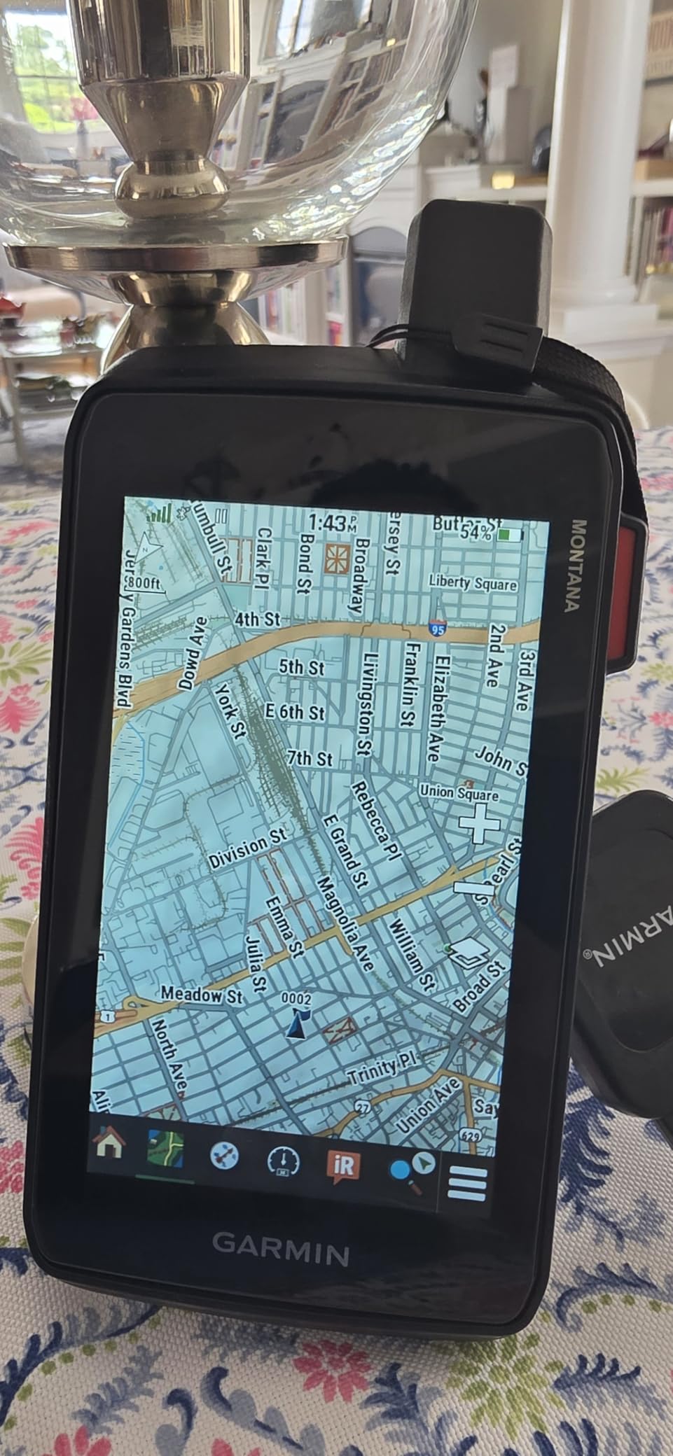
Camera and storage for hunters and anglers
The geotagged camera is a genuine advantage for anyone who scouts access points, marks a game trail, or documents a campsite. Thirty-two gigabytes of internal memory means several riding days of photos without a card reader, and the microSD slot covers a full season. If your riding involves a lot of backcountry access rather than loop trails, that combination earns its place.
The cost of owning the safety net
Two things push against it. The rechargeable battery pack is not swapped in the field the way AAAs are, so a dead pack ends your ride until you reach a charger. And while the unit itself does a lot without a paid plan, the satellite messaging, the premium Outdoor Maps+ content, and optional marine charts each add a separate ongoing cost that has nothing to do with the hardware.
5. NiesahYan Rugged Handheld GPS – budget entry point
Handheld GPS for Hiking, Rugged and Waterproof Handheld GPS Navigator, 3.2″ Sunlight Readable Screen, Compact Satellite Handheld GPS with USA Topo Map, Multi-GNSS Support, Extra Battery Life
3.2 inch sunlight readable LCD
Multi-GNSS across four systems
36 hour rechargeable battery
Pros
- 36 hours of battery on a single recharge
- Multi-GNSS covering GPS
- Galileo
- BeiDou and QZSS
- Location precision quoted within 6 feet
- Preloaded USA topographic maps
- Physical buttons that work with wet gloves
- USB-C charging
- IP66 water resistance and anti-slip body
Cons
- 3.2 inch screen is the smallest here
- Non-touchscreen interface
- Lesser-known brand with a short review history
- No satellite messaging and no camera
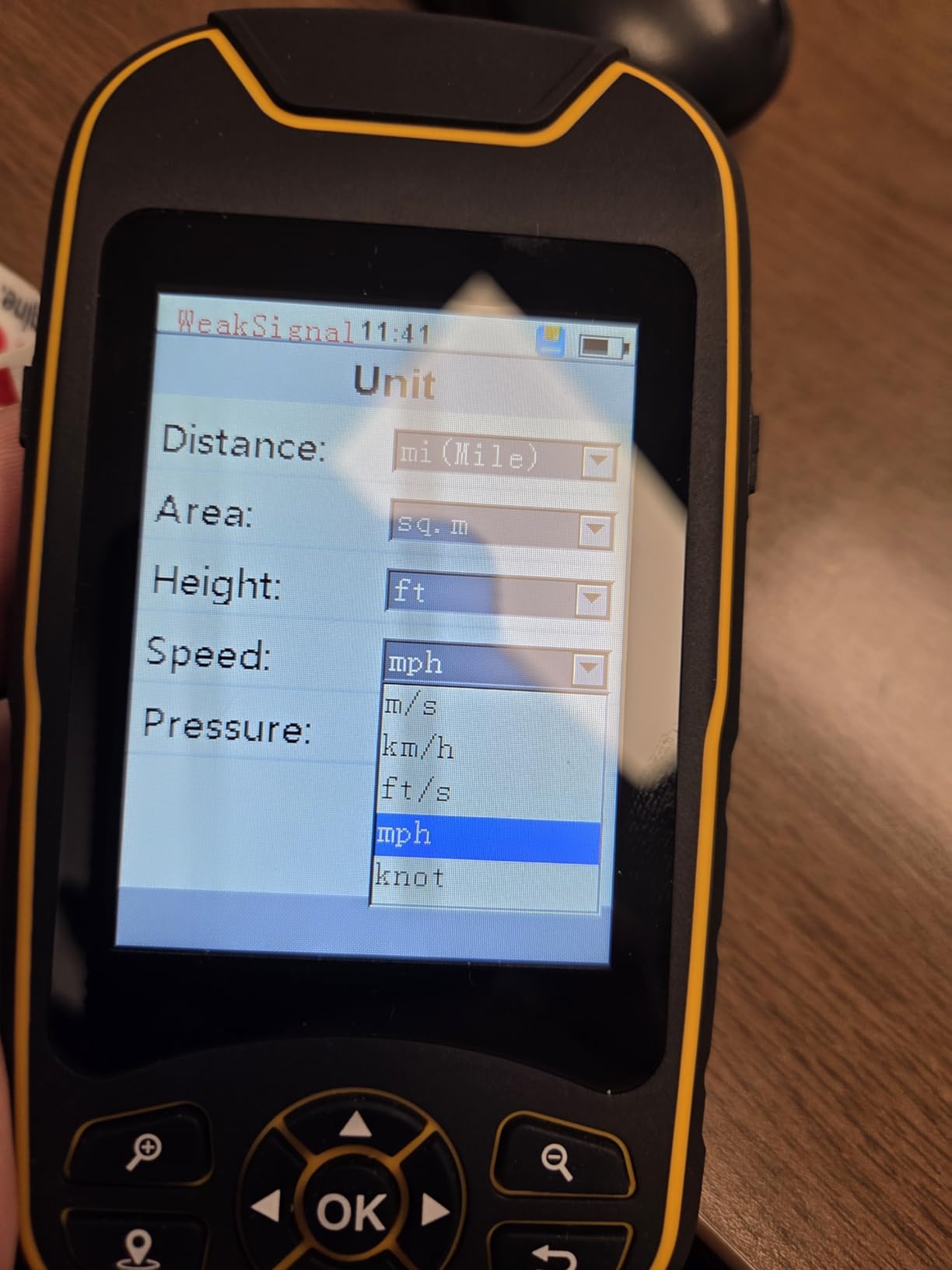
This is the unit to look at if the idea of a trail GPS has been priced out of your budget. It ships with preloaded USA topographic maps, 32 GB of internal memory for additional downloads, and a 3 axis compass with a barometric altimeter, which is more sensor hardware than many pricier handhelds in the roundup.
The satellite reception is the technical surprise. It supports GPS, Galileo, BeiDou, and QZSS across four systems, with a quoted precision within 6 feet. Multi-GNSS support in this class usually means one system, so having four means a much better chance of holding a lock in heavy canopy or against a canyon wall.
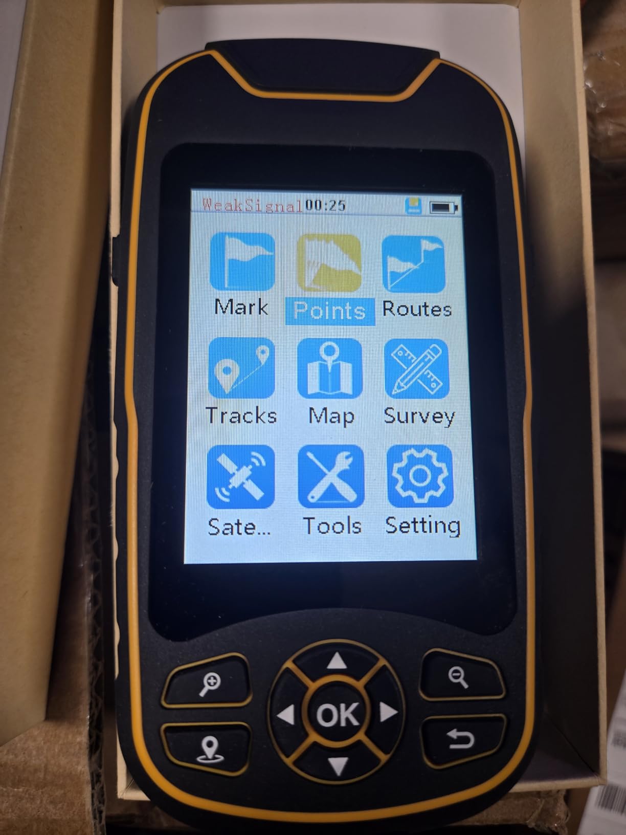
Battery life is the standout number: up to 36 hours on the rechargeable pack over USB-C, roughly triple what the powersport units give you. The 3.2 inch LCD is described as sunlight readable, the body is IP66 water-resistant with an anti-slip finish, and there is a hanging rope in the box. Waypoint and track recording are supported, which is what a handheld should be doing.
Be clear-eyed about the trade. This is a smaller, non-touchscreen device from a brand with far less field history than Garmin or Trail Tech, and a 41-review history is thin ground for a machine you depend on when the trail forks. It is a solid backup, a scout tool, and a learn-to-use-a-GPS purchase, not a life-safety system.
Best used as a scout unit or a backup
The preloaded topo maps and 32 GB of storage make it a good machine for planning a ride on the couch, then walking out the first section of a route on foot to confirm the junctions. It also works as a second unit in the saddlebag, which is exactly how I would use it if the budget were tight. The physical buttons and 36 hour runtime suit long days away from a power socket.
When a known brand is worth more
Map updates and long-term support are the honest concern. Buying from a brand with no established trail mapping ecosystem means you are trusting preloaded data you cannot easily refresh, and a 3.2 inch non-touch screen is genuinely harder to read at speed than any of the larger units here. If the money allows, the Foretrex 401 solves the same need with a far longer track record.
6. Trail Tech Voyager Pro Kit – navigation plus engine gauges
Voyager Pro Kit, UTV
4 inch color touchscreen
Engine temp, RPM, voltage sensors
Buddy tracking for group rides
Pros
- Reads engine RPM
- temperature
- voltage and speed from the machine itself
- Buddy tracking keeps your group on one map
- RAM column mount and dock included
- Preloaded North American basemaps with topography
- Custom map imports through Trail Tech software
- Bluetooth for audio and intercom
Cons
- 4 inch screen is smaller than a phone
- No charging port on the unit itself so a hardwire or dock is needed
- Feature-rich interface takes time to learn
The Voyager Pro Kit is the odd one out in this roundup because it is a dash head unit first and a navigator second. It reads directly from the vehicle sensors, so the screen shows engine RPM, engine temperature, voltage, and speed alongside the map, and the kit includes a CVT temperature sensor plus an ignition sensor that a plain GPS unit will never show you.
For a heavily modified UTV that runs boost or a turbo and pulls hard on a climb, those readings are not a gimmick. Watching engine RPM climb on a sustained grade, or seeing the CVT temperature move before something lets go, tells you to back off when a plain navigator would show you nothing but a line on a map.
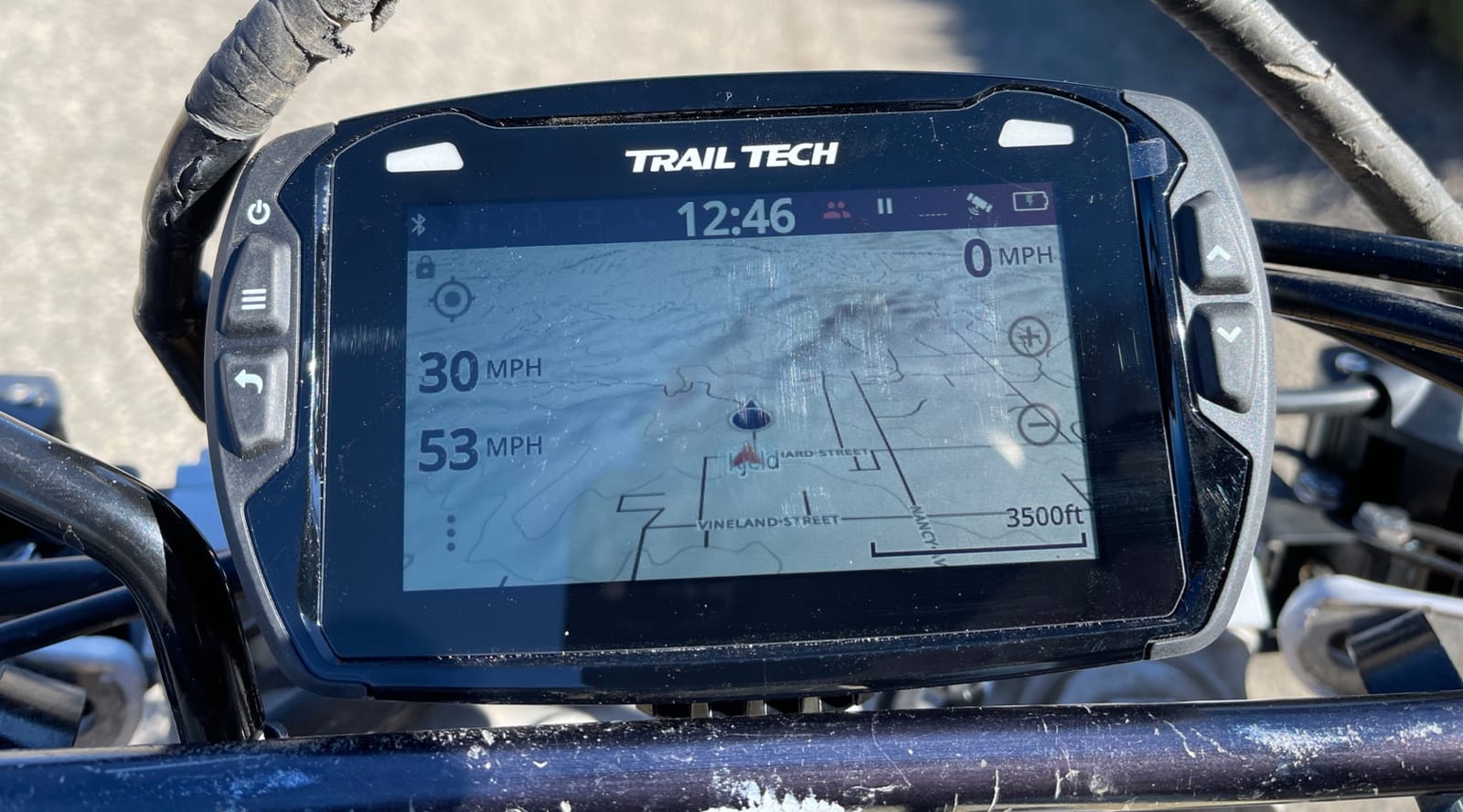
Navigation is solid for North America, with preloaded basemaps that include topography and support for custom map imports through Trail Tech software on 32 GB of internal memory. Buddy tracking handles group rides by showing where the rest of your group is on the map, and Bluetooth links the unit to your phone for intercom, calls, messaging, and media controls. A RAM column mount and a dock are in the box, which saves a separate mount purchase.
Build quality is rugged and waterproof, it weighs 1.5 pounds, and the 4 inch color touchscreen at 480 by 272 is described as bright and sunlight readable. The practical limit is size: at 4 inches it is narrower than most modern phones, so it works best as a dash display you glance at rather than a map you study.
Why UTV riders keep buying this kit
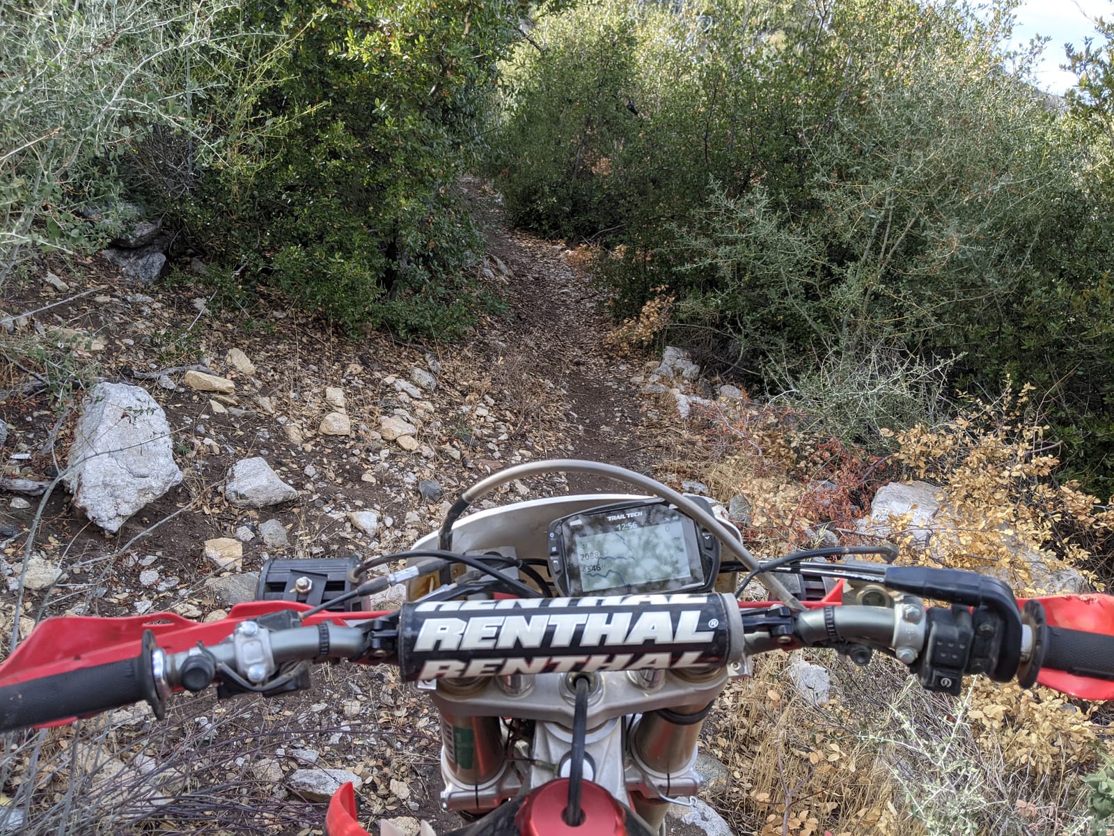
It solves the whole-dash problem in one box. A rider who wanted a GPS, a tach, a speedometer, a volt meter, and a group tracker would otherwise be running three screens and a tangle of wiring. The Buddy Tracking antenna and the RAM column mount turn a loose phone in a RAM ball into a proper cockpit, and the Bluetooth intercom link is what makes it useful on a two-up ride with headsets.
The charging catch you should plan around
There is no USB or AC charging port on the unit. That means hardwiring it to the electrical system or living with the vehicle dock, and battery life is noticeably limited if you do neither. Plan the install as a wiring project rather than a plug-and-play accessory, and confirm the ignition sensor routing fits your cage before you commit.
How to Choose an Off-Road GPS Unit
Screen size and mounting for quads versus side-by-sides
Match the panel to the machine and the mounting position, not to the specification sheet. On a quad, a 4 inch to 5 inch unit at handlebar height is readable and keeps the bars usable, which is why the Tread Powersport works so well there. On a side-by-side, a cage or dash mount can carry a 6 inch panel comfortably, and the extra width is what lets you see the next junction before you are on top of it.
Watch the viewing angle as well as the size. A screen angled up toward the sky washes out completely at noon, and one angled down puts your helmet visor in the way. A RAM ball mount with a locking collar, positioned where you can see it by dropping your eyes rather than your hand, solves both problems.
Trail maps, land boundaries, and offline coverage
Preloaded topographic mapping matters more than any other feature. Look for US Forest Service roads and trails with Motor Vehicle Use Maps, because the MVUM layer is the legal record of which routes are open to your machine, and it is the difference between a great day and a ranger citation. Public and private land boundaries, campground layers, and adventure roads data are the next tier of usefulness.
Everything must work with no cell service. A navigator that needs a data connection to show a map is useless on a forest road, which is precisely where you bought it. If you do want satellite imagery, check whether the download requires a subscription, because on some devices it is subscription-free and on others it is not. Our marine GPS guide covers the same offline-first principle for boaters.
Power, battery life, and all-day runtime
Battery figures here range from about 6 hours on the powersport units to 24 hours in GPS mode on the Montana 760i and 36 hours on the budget handheld, and the Foretrex 401 runs up to 17 hours on two AAAs. None of those numbers matters much if you hardwire the unit, and all of them matter if you do not.
Decide early whether you will run a powered harness. A unit on internal battery is convenient for a carry handle or a spot-fishing trip, but a hardwired unit never dies on a long day and gives you a clean power feed to a fused accessory circuit with an inline switch.
Group tracking, satellite messaging, and the monthly cost
Group tracking shows where the rest of your ride is on your map, which is the feature riders mention most once they start riding in groups. The catch is that most implementations depend on cell data and a companion app, so it works in the open and drops out in the trees. Push-to-talk radio style communication is a different path, and a cheap handheld radio still does that job well.
Satellite messaging is the expensive one. The Montana 760i has inReach built into the hardware, but the service itself needs a paid plan with a monthly fee, and Outdoor Maps+ premium map content is a separate optional subscription. Budget for those as ongoing costs, not as part of the purchase, and decide up front whether you are riding far enough from help to justify them. For comparison, our GPS watch picks cover the training side of the same tracking question.
Glare, vibration, and glove operation
Screen quality is a field issue, not a spec. Look for an ultrabright sunlight-readable display with a glove-friendly capacitive touchscreen, and check the water rating: IPX7 is the common benchmark for immersion, while IP67 on the Tread 2 adds dust protection. Vibration matters too, since a loose mount that creaks on a washboard section is a unit you will be gripping instead of riding.
Physical buttons and touch are not competing philosophies. Buttons win when your hands are wet and gloved and the ride is rough, and touch wins when you need to read a map quickly at a junction. The Foretrex 401 and the budget handheld cover the button case, and the Tread units cover the touch case.
Apps Versus Dedicated GPS Hardware
A phone app can do a lot, and the honest answer is that apps are better at planning and dedicated units are better at riding. Apps give you a bigger screen, live updates, and cheap map layers, but a phone left in a tank bag in the sun will overheat, a cracked screen ends the day, and theft is a real risk on a parking lot trailhead. Riders on the major forums consistently report the same pattern: a tablet with maps preloaded for their region is a great setup, and it is still a tablet.
Region matters more than brand. Midwest riders repeatedly recommend VVMapping for local trail systems, forest riders like Avenza, Gaia GPS is a frequent Android choice, and Backcountry Navigator covers a lot of the same ground. onX Offroad is the most discussed subscription app and it is worth the money if you ride mixed public and private land and want a clean interface, but it is a recurring charge layered on hardware you already own.
A common and effective compromise is to use a phone or tablet for route planning at home, export the GPX file, and load it onto a dedicated unit for the ride. The planning convenience of an app with the reliability of a hardwired navigator in the field, which is how the Tread app workflow and the Tread 2 hardware are meant to be used together.
GPS Navigator Versus GPS Tracker
A GPS navigator tells you where you are and where you are going. A GPS tracker is a small device that reports the location of a vehicle or asset to a service, usually over a cellular network, for theft recovery or fleet management. The most common search result for this topic is a tracker page, which answers a different question and is not what you want strapped to a handlebar.
Some of the hardware in this roundup blurs the line. The Trail Tech Voyager Pro sits closest to the crossover, because it is mounted permanently and reads vehicle data, and the category listing on the retailer side even groups it with trackers. If your need is finding your machine after a theft, that is a tracker. If your need is not taking the wrong drainage on a foggy morning, any of the six units above will do the job.
Mounting and Wiring Your GPS So It Stays Put
By the time we were comparing the third mount, we had already ruled out the bare-bones versions. A RAM ball with a locking collar, a clamp that matches your bar diameter, and a backing plate where the clamp meets the tubing is what keeps a unit on the machine.
For wiring, route the fused feed from a switched accessory circuit rather than the headlight circuit, add an inline switch within reach, and keep the run away from the CVT and the exhaust on a UTV. The Voyager Pro kit and the Tread kits both include a power cable and mount hardware, and the Foretrex 401 needs no wiring at all, which is the quiet advantage of a two-AAA device.
Frequently Asked Questions
What is the best GPS for ATV trail riding?
The Garmin Foretrex 401 is the best all-around choice because it is waterproof, weighs 3.1 ounces, and runs up to 17 hours on two replaceable AAA batteries. Riders who want trail maps already loaded should pick the Garmin Tread Powersport for its preloaded topographic and land boundary maps.
What is the best GPS app for ATV trail riding?
It depends on where you ride. VVMapping is widely used for Midwestern trail systems, Avenza works well in forest regions, Gaia GPS is a common Android option, and onX Offroad is a strong all-purpose subscription app for mixed public and private land.
What are the best ATV trail maps?
Look for topographic mapping that includes US Forest Service roads and trails with Motor Vehicle Use Maps, plus public and private land boundaries and campground data. The MVUM layer is the most important because it shows which routes are legally open to a side-by-side.
What is the best GPS for side-by-side driving?
For a cage or dash mounted side-by-side, the Garmin Tread 2 with its 6 inch ultrabright display is the most readable option, and the Trail Tech Voyager Pro Kit adds engine RPM, temperature, and voltage gauges with buddy tracking for group rides.
Do GPS units work without cell service?
Yes. Dedicated units store their maps on the device and use satellite signals, so navigation keeps working with no cell coverage. Features that depend on a phone, such as group tracking through the Tread app and inReach satellite messaging, do need either a data connection or a separate satellite subscription.
Final Verdict
The best GPS units for ATV trails in 2026 come down to what you are missing. If you are missing battery, take the Garmin Foretrex 401, which is waterproof, weighs 3.1 ounces, and runs 17 hours on two AAAs you can swap yourself. If you are missing maps, take the Garmin Tread Powersport with its preloaded topo, land boundary, and Motor Vehicle Use Map data.
Ride a side-by-side and you are missing screen, so the Garmin Tread 2 with its 6 inch IP67 display is the buy. Ride far from help and you need the Garmin Montana 760i for its built-in inReach messaging. Ride a modified UTV and want the engine data on the same screen, the Trail Tech Voyager Pro Kit does both jobs. Tight budget, learn on a shoestring, or want a scout unit, the NiesahYan handheld covers the basics with multi-GNSS and a 36 hour battery.
Whichever you choose, hardwire it if you can, mount it with a locking RAM ball, and load the map layers before you leave the driveway.